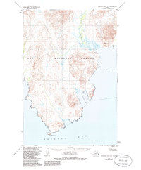
1950 Map of Nushagak Bay D-6
USGS Topo · Published 1985About this map
Togiak National Wildlife Refuge encompasses the majority of this coastal landscape, which was documented through photogrammetric methods between 1946 and 1950. The survey details the jagged shoreline of the Bering Sea, where the Kulukak River empties into the expansive Kulukak Bay. This remote Alaskan peninsula is defined by its dramatic relief, punctuated by triangulation stations such as VABM Amyli 1092 and VABM Kulukak 956, which served as critical points for early topographic control.
Find a feature on this map
11 named features on this map. Tap any name to fly to it.
Don’t see what you’re looking for? This feature index may not catch every label — zoom into the map to look around manually.
Map Details
Editions of this 1950 Nushagak Bay D-6 Map
3 editions found
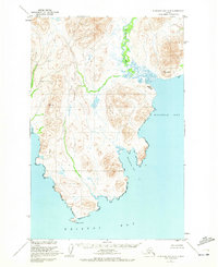
Other maps of this area

1945 · Nushagak Bay
USGS Topo · 1:250,000

1948 · Hagemeister Island C-1
USGS Topo · 1:63,360

1949 · Nushagak Bay
USGS Topo · 1:250,000

1950 · Nushagak Bay D-5
USGS Topo · 1:63,360

1950 · Nushagak Bay D-6
USGS Topo · 1:63,360

1950 · Hagemeister Island D-1
USGS Topo · 1:63,360

1951 · Goodnews
USGS Topo · 1:250,000

1951 · Hagemeister Island
USGS Topo · 1:250,000

1951 · Nushagak Bay
USGS Topo · 1:250,000

1952 · Hagemeister Island C-1
USGS Topo · 1:63,360