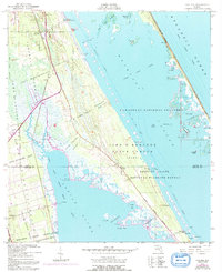
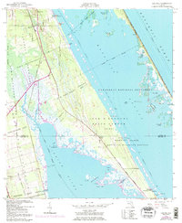
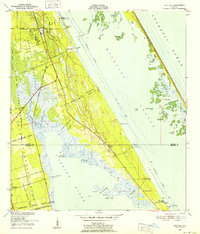
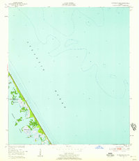
1949 Map of Oak Hill
USGS Topo · Published 1968About this map
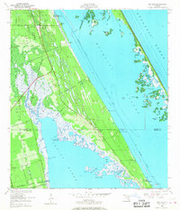
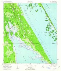
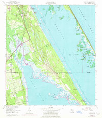
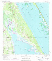
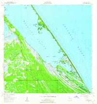
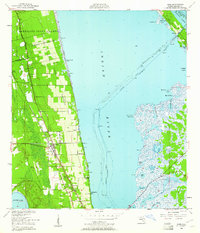
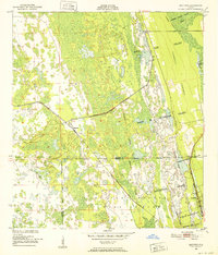
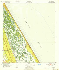
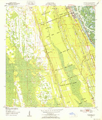
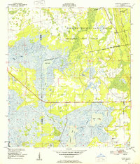
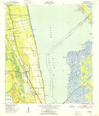
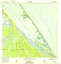
Oak Hill and Shiloh anchor this coastal survey, which documents a landscape defined by expansive Spanish Land Grants and the intricate waterways of the Florida coast. Significant boundaries like the Gomez Grant, Lucas Crayon Grant, and Pablo Rosette Grant carve the terrain into historical parcels that predate modern development. The mapping shows the early 20th-century infrastructure of the Turnbull Coast Road and a solitary Airway Beacon (6), signaling the era's navigational needs.
Find a feature on this map
43 named features on this map. Tap any name to fly to it.
Don’t see what you’re looking for? This feature index may not catch every label — zoom into the map to look around manually.
Map Details
Editions of this 1949 Oak Hill Map
7 editions found
Other maps of this area
1949 · Oak Hill
USGS Topo · 1:24,000
1949 · Pardon Island
USGS Topo · 1:24,000
1949 · Wilson
USGS Topo · 1:24,000
1949 · Mims
USGS Topo · 1:24,000
1950 · Maytown
USGS Topo · 1:24,000
1950 · Ariel
USGS Topo · 1:24,000
1950 · Edgewater
USGS Topo · 1:24,000
1950 · Aurantia
USGS Topo · 1:24,000
1952 · Mims
USGS Topo · 1:24,000
1952 · Wilson
USGS Topo · 1:24,000