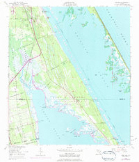
1949 Map of Oak Hill
USGS Topo · Published 1984About this map
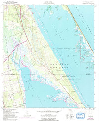
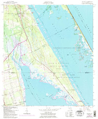
Spanish land grants such as the Pablo Rosette Grant, Gomez Grant, and William Garvin Grant dominate the coastal landscape of East Central Florida in this mid-century survey. The area transitions from the quiet settlement of Oak Hill and the orange groves near Scottsmoor into the emerging technological footprint of the John F Kennedy Space Center and Nasa. This period marks the transformation of the barrier islands and marshes between the Indian River and Mosquito Lagoon from isolated fishing and citrus-growing outposts to a high-stakes aerospace corridor.
Find a feature on this map
46 named features on this map. Tap any name to fly to it.
Don’t see what you’re looking for? This feature index may not catch every label — zoom into the map to look around manually.
Map Details
Editions of this 1949 Oak Hill Map
7 editions found
Other maps of this area

1949 · Oak Hill
USGS Topo · 1:24,000

1949 · Pardon Island
USGS Topo · 1:24,000

1949 · Wilson
USGS Topo · 1:24,000

1949 · Mims
USGS Topo · 1:24,000

1950 · Maytown
USGS Topo · 1:24,000

1950 · Ariel
USGS Topo · 1:24,000

1950 · Edgewater
USGS Topo · 1:24,000

1950 · Aurantia
USGS Topo · 1:24,000

1952 · Mims
USGS Topo · 1:24,000

1952 · Wilson
USGS Topo · 1:24,000