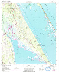
1949 Map of Oak Hill
USGS Topo · Published 1993About this map
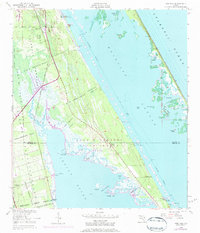
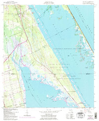
The boundary of the Volusia and Brevard County line divides this coastal landscape, where the Indian River and Mosquito Lagoon dominate the terrain. This area, largely defined by Spanish land grants like the Lucas Crayon Grant and Gomez Grant, represents a pivotal period before the full expansion of the aerospace industry transformed the region. The map documents the overlap of the John F Kennedy Space Center (NASA) with the Merritt Island National Wildlife Refuge, illustrating a unique coexistence of high-technology buffer zones and preserved marshes. Small landings and settlements such as Oak Hill, Scottsmoor, and the village of Shiloh serve as focal points for local history, while landmarks like Lyratta Dock and the Airway Beacon provide insight into the mid-century navigation and water-based commerce of the Florida coast.
Find a feature on this map
46 named features on this map. Tap any name to fly to it.
Don’t see what you’re looking for? This feature index may not catch every label — zoom into the map to look around manually.
Map Details
Editions of this 1949 Oak Hill Map
7 editions found
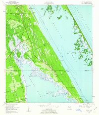
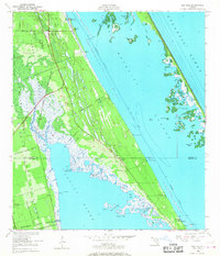
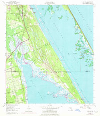
Other maps of this area

1949 · Oak Hill
USGS Topo · 1:24,000

1949 · Pardon Island
USGS Topo · 1:24,000

1949 · Wilson
USGS Topo · 1:24,000

1949 · Mims
USGS Topo · 1:24,000

1950 · Maytown
USGS Topo · 1:24,000

1950 · Ariel
USGS Topo · 1:24,000

1950 · Edgewater
USGS Topo · 1:24,000

1950 · Aurantia
USGS Topo · 1:24,000

1952 · Mims
USGS Topo · 1:24,000

1952 · Wilson
USGS Topo · 1:24,000