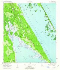
1949 Map of Oak Hill
USGS Topo · Published 1962About this map
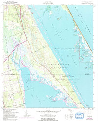
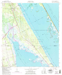
Oak Hill and the surrounding coastal reaches of Florida's East Coast appear here in the late 1940s, a landscape defined by the intricate waterways of Mosquito Lagoon and the Indian River. This coastal corridor is marked by large Spanish land grants that persist in the property record, such as the Pablo Rosette Grant, Lucas Crayon Grant, and Gomez Grant. The transition from Volusia to Brevard County is evident near the small settlements of Shiloh and Scottsmoor.
Find a feature on this map
45 named features on this map. Tap any name to fly to it.
Don’t see what you’re looking for? This feature index may not catch every label — zoom into the map to look around manually.
Map Details
Editions of this 1949 Oak Hill Map
7 editions found
Other maps of this area

1949 · Oak Hill
USGS Topo · 1:24,000

1949 · Pardon Island
USGS Topo · 1:24,000

1949 · Wilson
USGS Topo · 1:24,000

1949 · Mims
USGS Topo · 1:24,000

1950 · Maytown
USGS Topo · 1:24,000

1950 · Ariel
USGS Topo · 1:24,000

1950 · Edgewater
USGS Topo · 1:24,000

1950 · Aurantia
USGS Topo · 1:24,000

1952 · Mims
USGS Topo · 1:24,000

1952 · Wilson
USGS Topo · 1:24,000