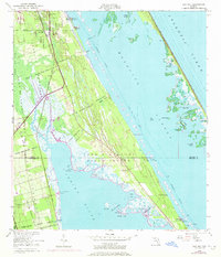
1949 Map of Oak Hill
USGS Topo · Published 1972About this map
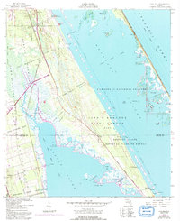
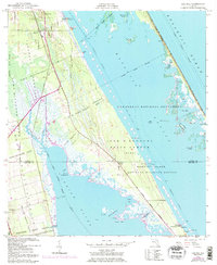
The John F Kennedy Space Center (NASA) occupies a significant portion of this coastal landscape, reflecting the mid-century transformation of Florida's Atlantic shoreline. This 1949 survey, with its 1970 revisions, documents the transition from early agricultural and maritime interests to the dawn of the space age. The terrain is defined by a series of Spanish land grants, including the Pablo Rosette Grant and the Antelm Gay Grant, which still dictate the orientation of property lines and roads. These long, narrow tracts stretch across the wetlands between the Florida East Coast railway and the open waters of the Mosquito Lagoon. Small coastal hubs like Oak Hill and Scottsmoor remain anchored to the rail line, while the intricate waterways of Indian River and Vanns Slough reveal a landscape of shoals and islands used for local fishing and navigation before modern development.
Find a feature on this map
45 named features on this map. Tap any name to fly to it.
Don’t see what you’re looking for? This feature index may not catch every label — zoom into the map to look around manually.
Map Details
Editions of this 1949 Oak Hill Map
7 editions found
Other maps of this area

1949 · Oak Hill
USGS Topo · 1:24,000

1949 · Pardon Island
USGS Topo · 1:24,000

1949 · Wilson
USGS Topo · 1:24,000

1949 · Mims
USGS Topo · 1:24,000

1950 · Maytown
USGS Topo · 1:24,000

1950 · Ariel
USGS Topo · 1:24,000

1950 · Edgewater
USGS Topo · 1:24,000

1950 · Aurantia
USGS Topo · 1:24,000

1952 · Mims
USGS Topo · 1:24,000

1952 · Wilson
USGS Topo · 1:24,000