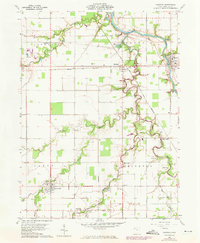
1960 Map of Oakwood
USGS Topo · Published 1973About this map
The Old Indian Treaty Boundary slices diagonally across this Paulding County landscape, marking a legacy of frontier negotiation between the confluence of the Auglaize River and the Little Auglaize River. Near this historic line sits Fort Brown, a significant site situated where the two rivers meet. The terrain is defined by a dense network of waterways including Prairie Creek, Middle Creek, and Dog Creek, which supported a dispersed settlement pattern of family farms and rural centers.
Find a feature on this map
38 named features on this map. Tap any name to fly to it.
Don’t see what you’re looking for? This feature index may not catch every label — zoom into the map to look around manually.
Map Details
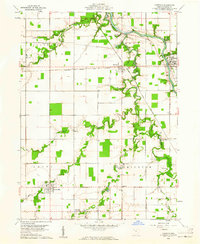
Editions of this 1960 Oakwood Map
2 editions found
Other maps of this area

1909 · Continental
USGS Topo · 1:62,500

1911 · Delphos
USGS Topo · 1:62,500

1914 · Van Wert
USGS Topo · 1:62,500

1914 · Paulding
USGS Topo · 1:62,500

1944 · Delphos
USGS Topo · 1:62,500

1944 · Van Wert
USGS Topo · 1:62,500

1944 · Paulding
USGS Topo · 1:62,500

1953 · Fort Wayne
USGS Topo · 1:250,000

1953 · Muncie
USGS Topo · 1:250,000

1956 · Muncie
USGS Topo · 1:250,000