
1901 Map of Oberlin
USGS Topo · Published 1952About this map
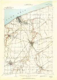
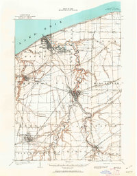
Lorain and Elyria anchor this turn-of-the-century landscape, which is defined by an intricate network of early transit and natural geological ridges. The Black River carves a winding path through the center of the sheet, while the shoreline of Lake Erie features several small resort and transit stops like Beach Park and Lake Breeze. A high concentration of industrial activity is evident in the numerous Quarry labels found around North Amherst and Grafton, signaling the region's importance in sandstone and mineral extraction during this period.
Find a feature on this map
62 named features on this map. Tap any name to fly to it.
Don’t see what you’re looking for? This feature index may not catch every label — zoom into the map to look around manually.
Map Details
Editions of this 1901 Oberlin Map
3 editions found
Other maps of this area

1902 · Berea
USGS Topo · 1:62,500

1903 · Vermilion
USGS Topo · 1:62,500

1903 · Oberlin
USGS Topo · 1:62,500

1904 · Berea
USGS Topo · 1:62,500

1904 · Medina
USGS Topo · 1:62,500

1904 · Wellington
USGS Topo · 1:62,500

1906 · Medina
USGS Topo · 1:62,500

1906 · Wellington
USGS Topo · 1:62,500

1908 · New London
USGS Topo · 1:62,500

1950 · Cleveland
USGS Topo · 1:250,000