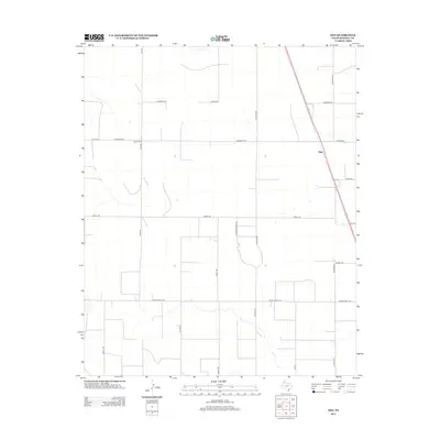
2012 Map of Ogg
USGS Topo · Published 2012About this map
Ogg and Black Camp serve as the primary points of reference in this portion of Randall County, situated within a high-plains landscape defined by a precise rectilinear road network. The settlement of Ogg is positioned along a prominent north-south corridor, reflecting the area's continued reliance on efficient transport routes across the open terrain. This survey illustrates the persistence of a rural economy organized around family and ranch-named infrastructure, such as Ranch Road 1705 and Jowell Rd. The inclusion of specific labels like Helium Rd points toward the local significance of specialized industrial or natural resource history in the region. The map also traces smaller paths like Running Water Rd and Rawley Rd, providing a clear view of the property access and residential layout as it existed in the early twenty-first century.
Find a feature on this map
22 named features on this map. Tap any name to fly to it.
Don’t see what you’re looking for? This feature index may not catch every label — zoom into the map to look around manually.
Map Details
Editions of this 2012 Ogg Map
This is the sole edition of this map. No revisions or reprints were ever made.
Other maps of this area

1954 · Plainview
USGS Topo · 1:250,000

1954 · Clovis
USGS Topo · 1:250,000

1958 · Clovis
USGS Topo · 1:250,000

1958 · Plainview
USGS Topo · 1:250,000
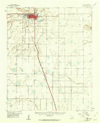
1960 · Canyon
USGS Topo · 1:62,500
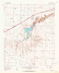
1961 · Buffalo Lake
USGS Topo · 1:62,500
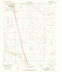
1965 · Happy
USGS Topo · 1:24,000
1966 · Tulia NW
USGS Topo · 1:24,000
1966 · Arney
USGS Topo · 1:24,000
1984 · Canyon
USGS Topo · 1:24,000