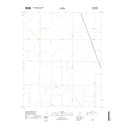
2019 Map of Ogg
USGS Topo · Published 2019About this map
Ogg sits along the northeastern edge of this Randall County landscape, where the High Plains terrain is etched by the seasonal drainage of Happy Draw. This 2019 survey documents a rural agricultural region organized by an expansive grid of section roads, reflecting the large-scale ranching and farming operations typical of the Texas Panhandle. A notable point of genealogical interest is the Sarah Jenkins Plot located south of the main settlement near Fm 1705. The infrastructure is defined by long-distance thoroughfares such as Helium Rd and Running Water Rd, which navigate the subtle elevation changes of the Llano Estacado. The map illustrates the persistent intersection of private landholdings and state-maintained routes like S Fm 1705 in a region where water features like the draw remain central to the geography.
Find a feature on this map
21 named features on this map. Tap any name to fly to it.
Don’t see what you’re looking for? This feature index may not catch every label — zoom into the map to look around manually.
Map Details
Editions of this 2019 Ogg Map
This is the sole edition of this map. No revisions or reprints were ever made.
Other maps of this area

1954 · Plainview
USGS Topo · 1:250,000

1954 · Clovis
USGS Topo · 1:250,000

1958 · Clovis
USGS Topo · 1:250,000

1958 · Plainview
USGS Topo · 1:250,000
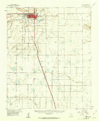
1960 · Canyon
USGS Topo · 1:62,500
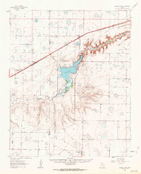
1961 · Buffalo Lake
USGS Topo · 1:62,500
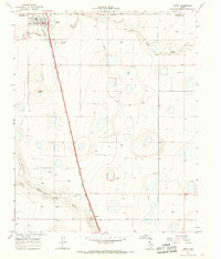
1965 · Happy
USGS Topo · 1:24,000
1966 · Tulia NW
USGS Topo · 1:24,000
1966 · Arney
USGS Topo · 1:24,000
1984 · Canyon
USGS Topo · 1:24,000