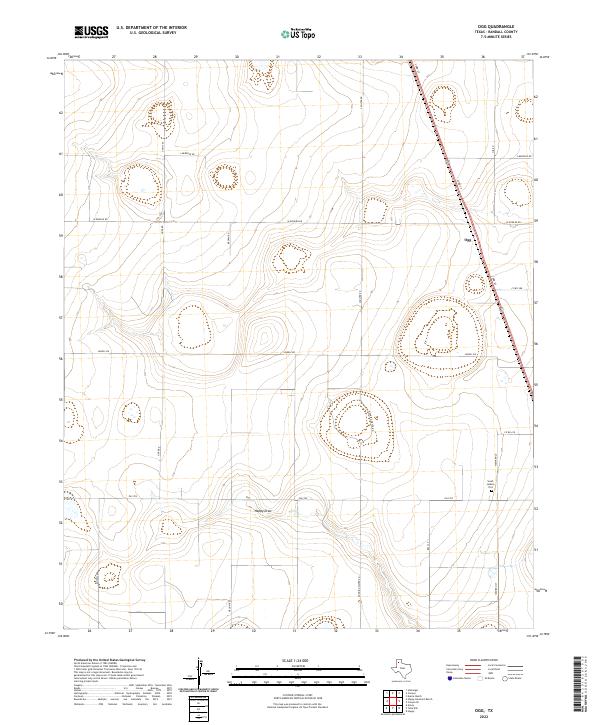
2022 Map of Ogg
USGS Topo · Published 2022About this map
Sarah Jenkins Plot serves as a distinct point of local interest within the wide-open landscape of Randall County. The terrain is characterized by broad drainage features such as Happy Draw, which cuts through the southern portion of the area. The small settlement of Ogg is situated along the corridor of 23rd St, which serves as a primary north-south artery for the region.
Find a feature on this map
21 named features on this map. Tap any name to fly to it.
Don’t see what you’re looking for? This feature index may not catch every label — zoom into the map to look around manually.
Map Details
Editions of this 2022 Ogg Map
This is the sole edition of this map. No revisions or reprints were ever made.
Other maps of this area
1954 · Plainview
USGS Topo · 1:250,000
1954 · Clovis
USGS Topo · 1:250,000
1958 · Clovis
USGS Topo · 1:250,000
1958 · Plainview
USGS Topo · 1:250,000
1960 · Canyon
USGS Topo · 1:62,500
1961 · Buffalo Lake
USGS Topo · 1:62,500
1965 · Happy
USGS Topo · 1:24,000
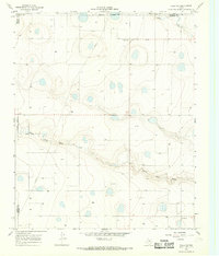
1966 · Tulia NW
USGS Topo · 1:24,000
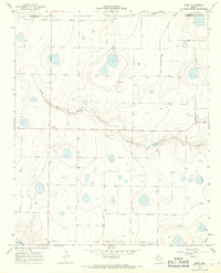
1966 · Arney
USGS Topo · 1:24,000
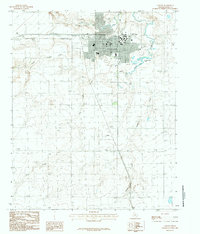
1984 · Canyon
USGS Topo · 1:24,000