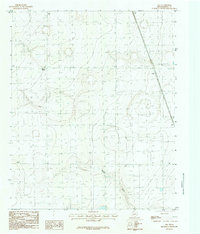
1984 Map of Ogg
USGS Topo · Published 1984About this map
Ogg and the surrounding high plains of Randall County are documented in this mid-1980s provisional survey, capturing a sparsely populated agricultural landscape defined by its subtle topographic shifts. The terrain is characterized by a series of shallow depressions and draws, most notably Happy Draw, which cuts through the southern portion of the quadrangle. This map reflects the ranching and farming infrastructure of the Texas Panhandle during this era, showing the placement of wind-driven wells, tanks, and small cattle-related outposts like Black Camp. The grid-like precision of the local road network and the isolation of these named sites highlight the wide-open nature of the High Plains before more modern development altered the footprint of these smaller rural centers.
Find a feature on this map
3 named features on this map. Tap any name to fly to it.
Don’t see what you’re looking for? This feature index may not catch every label — zoom into the map to look around manually.
Map Details
Editions of this 1984 Ogg Map
This is the sole edition of this map. No revisions or reprints were ever made.
Other maps of this area

1954 · Plainview
USGS Topo · 1:250,000

1954 · Clovis
USGS Topo · 1:250,000

1958 · Clovis
USGS Topo · 1:250,000

1958 · Plainview
USGS Topo · 1:250,000

1960 · Canyon
USGS Topo · 1:62,500

1961 · Buffalo Lake
USGS Topo · 1:62,500

1965 · Happy
USGS Topo · 1:24,000

1966 · Tulia NW
USGS Topo · 1:24,000

1966 · Arney
USGS Topo · 1:24,000
1984 · Canyon
USGS Topo · 1:24,000