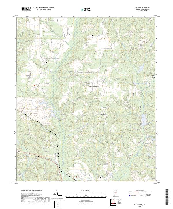
2024 Map of Old Kingston
USGS Topo · Published 2024About this map
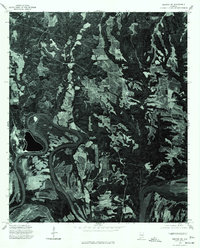
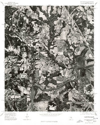
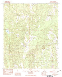
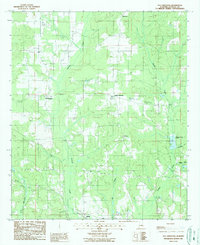
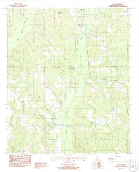
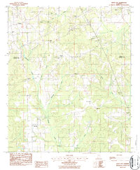
Old Kingston and the surrounding Autauga County countryside are defined by a network of creeks and small settlements in this recent survey. The landscape is deeply tied to its local heritage, evidenced by several family and community burial grounds such as Stewart Cem, Wilsons Cem, and the Old Kingston Cem. The drainage patterns of Autauga Creek and Mill Creek shape the terrain, which transitions from the clustered homes at Poseys Crossroads and Mount Sinai to the more open spaces near Booth.
Find a feature on this map
89 named features on this map. Tap any name to fly to it.
Don’t see what you’re looking for? This feature index may not catch every label — zoom into the map to look around manually.
Map Details
Editions of this 2024 Old Kingston Map
This is the sole edition of this map. No revisions or reprints were ever made.
Historical Maps of Oak Grove Through Time
21 maps found
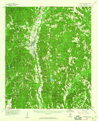
1959 Plantersville
Autauga County, AL
1975 Autaugaville NE
Autauga County, AL
1975 Autaugaville NW
Autauga County, AL
1975 Benton NE
Autauga County, AL
1975 Billingsley SE
Autauga County, AL
1975 Billingsley SW
Autauga County, AL
1975 Elmore SW
Autauga County, AL
1975 Montgomery NW
Autauga County, AL
1975 Plantersville SE
Autauga County, AL
1981 Forester
Autauga County, AL
1982 Durant Bend
Autauga County, AL
1982 Milton
Autauga County, AL
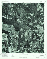
1987 Old Kingston
Autauga County, AL
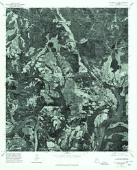
1987 Vida
Autauga County, AL
1987 White City
Autauga County, AL
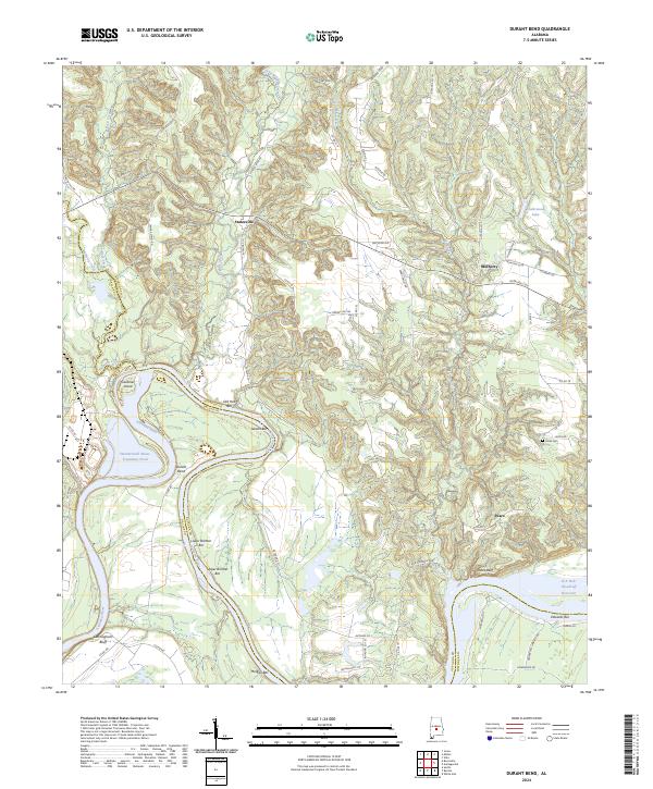
2024 Durant Bend
Autauga County, AL
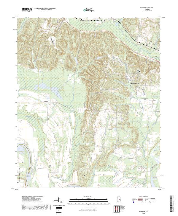
2024 Forester
Autauga County, AL
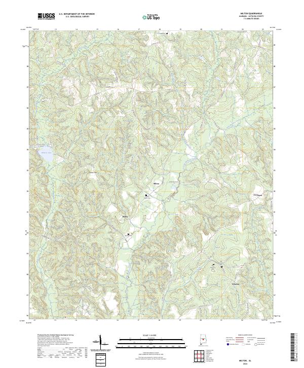
2024 Milton
Autauga County, AL
2024 Old Kingston
Autauga County, AL
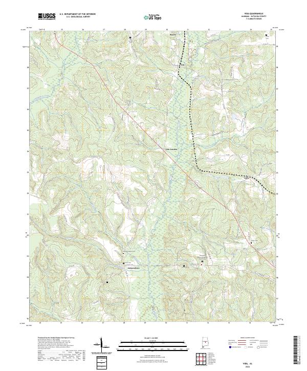
2024 Vida
Autauga County, AL
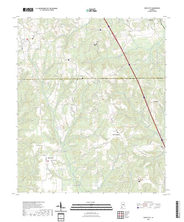
2024 White City
Autauga County, AL