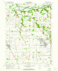
1963 Map of Onward
USGS Topo · Published 1964About this map
Bunker Hill Air Force Base dominates the southeastern portion of this landscape, its runways and complex facility footprint illustrating the Cold War military presence in Cass and Miami counties. The Wabash River carves across the northern edge of the sheet near Lewisburg, while the central and southern sections are defined by a network of drainage systems including Pipe Creek, Little Deer Creek, and Deer Creek. This mid-century survey reveals a rural landscape anchored by small towns like Onward and Walton.
Find a feature on this map
26 named features on this map. Tap any name to fly to it.
Don’t see what you’re looking for? This feature index may not catch every label — zoom into the map to look around manually.
Map Details
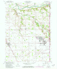
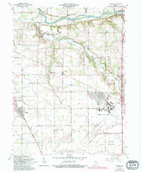
Editions of this 1963 Onward Map
3 editions found
Other maps of this area

1951 · Peru
USGS Topo · 1:24,000

1951 · Onward
USGS Topo · 1:24,000

1951 · Twelve Mile
USGS Topo · 1:24,000

1951 · Bunker Hill
USGS Topo · 1:24,000

1953 · Danville
USGS Topo · 1:250,000

1955 · Danville
USGS Topo · 1:250,000

1955 · Logansport
USGS Topo · 1:24,000

1955 · Anoka
USGS Topo · 1:24,000

1956 · Danville
USGS Topo · 1:250,000

1959 · Galveston
USGS Topo · 1:24,000