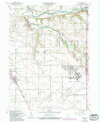
1963 Map of Onward
USGS Topo · Published 1994About this map
Pipe Creek and the Wabash River define the topography of this central Indiana landscape, which transitions from the river valley in the north to the industrial footprint of Grissom Air Force Base in the southeast. In the early 1960s, rural life here centered on small hubs like Onward and Walton, with the Pennsylvania RR providing a vital link through the territory.
Find a feature on this map
42 named features on this map. Tap any name to fly to it.
Don’t see what you’re looking for? This feature index may not catch every label — zoom into the map to look around manually.
Map Details
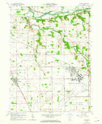
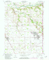
Editions of this 1963 Onward Map
3 editions found
Other maps of this area

1951 · Peru
USGS Topo · 1:24,000

1951 · Onward
USGS Topo · 1:24,000

1951 · Twelve Mile
USGS Topo · 1:24,000

1951 · Bunker Hill
USGS Topo · 1:24,000

1953 · Danville
USGS Topo · 1:250,000

1955 · Danville
USGS Topo · 1:250,000

1955 · Logansport
USGS Topo · 1:24,000

1955 · Anoka
USGS Topo · 1:24,000

1956 · Danville
USGS Topo · 1:250,000

1959 · Galveston
USGS Topo · 1:24,000