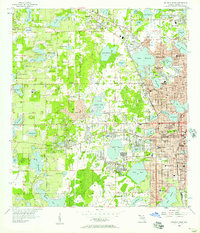
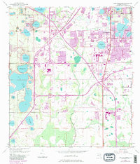
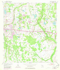
1956 Map of Orlando West
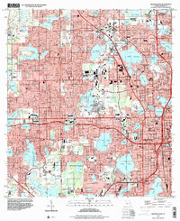
USGS Topo · Published 1957This historical map portrays the area of Orlando West in 1956, primarily covering Orange County. Featuring a scale of 1:24000, this map provides a highly detailed snapshot of the terrain, roads, buildings, counties, and historical landmarks in the Orlando West region at the time. Published in 1957, it is one of 5 known editions of this map due to revisions or reprints.
Find a feature on this map
135 named features on this map. Tap any name to fly to it.
Don’t see what you’re looking for? This feature index may not catch every label — zoom into the map to look around manually.
Map Details
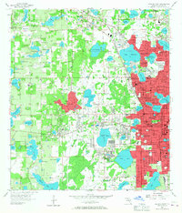
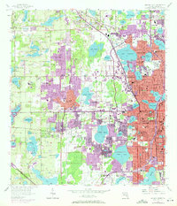
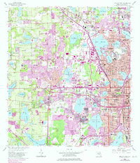
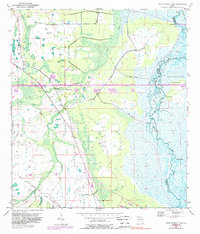
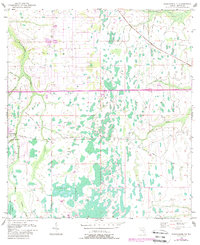
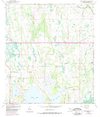
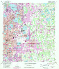
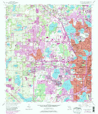
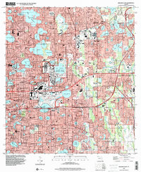
Editions of this 1956 Orlando West Map
5 editions found
Historical Maps of Clarcona Through Time
9 maps found
1953 Lake Jessamine
Orange County, FL
1953 Lake Poinsett NW
Orange County, FL
1953 Narcoossee NE
Orange County, FL
1953 Narcoossee NW
Orange County, FL
1953 Oviedo SW
Orange County, FL
1956 Orlando East
Orange County, FL
1956 Orlando West
Orange County, FL
1994 Orlando East
Orange County, FL
1995 Orlando West
Orange County, FL