
1956 Map of Orlando West
USGS Topo · Published 1957About this map
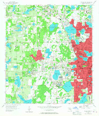
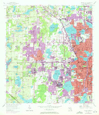
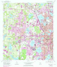
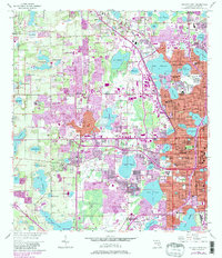
The Orlando city center and its western suburban expansion are captured in the mid-1950s, a period of rapid development across central Florida. The western edge of the city proper borders numerous unincorporated communities and established settlements such as Eatonville, Orlovista, and Fairview Shores. This landscape is defined by its extreme density of water bodies, with hundreds of lakes including Lake Fairview, Lake Wekiwa, and Lake Lockhart dictating the path of road networks like Lee Road and Colonial Drive.
Find a feature on this map
135 named features on this map. Tap any name to fly to it.
Don’t see what you’re looking for? This feature index may not catch every label — zoom into the map to look around manually.
Map Details
Editions of this 1956 Orlando West Map
5 editions found
Other maps of this area

1953 · Lake Jessamine
USGS Topo · 1:24,000

1953 · Pine Castle
USGS Topo · 1:24,000

1953 · Windermere
USGS Topo · 1:24,000

1955 · Orlando
USGS Topo · 1:250,000

1956 · Winter Garden
USGS Topo · 1:24,000

1956 · Orlando East
USGS Topo · 1:24,000

1957 · Orlando
USGS Topo · 1:250,000

1958 · Orlando
USGS Topo · 1:250,000

1959 · Forest City
USGS Topo · 1:24,000

1960 · Apopka
USGS Topo · 1:24,000