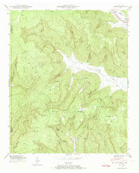
1947 Map of Orme
USGS Topo · Published 1974About this map
Sweden Cove serves as the geographic heart of this 1947 study, where the valley floor transitions into the steep slopes of Cumberland Mountain. The small settlement of Orme sits tucked into the mountainside at the base of Orme Mountain School, while further north, the community of Lodge and Sweden Cove School mark the local centers of rural life. The landscape is defined by deep recesses like Gourdneck Cove and Payne Cove, which cut into the limestone plateau, creating a complex series of ridges and points.
Find a feature on this map
59 named features on this map. Tap any name to fly to it.
Don’t see what you’re looking for? This feature index may not catch every label — zoom into the map to look around manually.
Map Details
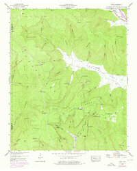
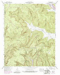
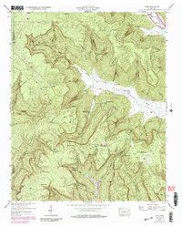
Editions of this 1947 Orme Map
4 editions found
Other maps of this area

1886 · Stevenson
USGS Topo · 1:125,000

1892 · Stevenson
USGS Topo · 1:125,000

1895 · Stevenson
USGS Topo · 1:125,000

1895 · Sewanee
USGS Topo · 1:125,000

1936 · Sewanee
USGS Topo · 1:24,000

1936 · Orme
USGS Topo · 1:24,000

1936 · Bridgeport
USGS Topo · 1:24,000

1936 · Sinking Cove
USGS Topo · 1:24,000

1936 · Monteagle
USGS Topo · 1:24,000

1936 · White City
USGS Topo · 1:24,000