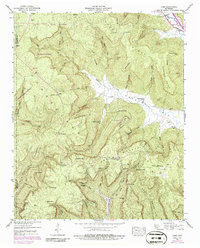
1947 Map of Orme
USGS Topo · Published 1986About this map
Sweden Cove and the surrounding peaks of the Cumberland Plateau define this landscape, where early 20th-century mountain life is etched into the topography. The map centers on the small settlement of Orme, located at the base of Orme Mountain near the Franklin-Marion county line. The presence of Strip Mines on the ridge above Lodge and the Lookout Tower overlooking Main Cove reveal an economy tied to both timber and coal extraction.
Find a feature on this map
68 named features on this map. Tap any name to fly to it.
Don’t see what you’re looking for? This feature index may not catch every label — zoom into the map to look around manually.
Map Details
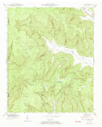
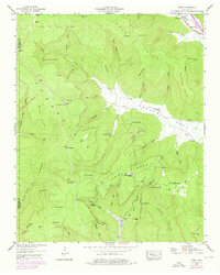
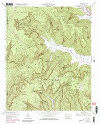
Editions of this 1947 Orme Map
4 editions found
Other maps of this area

1886 · Stevenson
USGS Topo · 1:125,000

1892 · Stevenson
USGS Topo · 1:125,000

1895 · Stevenson
USGS Topo · 1:125,000

1895 · Sewanee
USGS Topo · 1:125,000

1936 · Sewanee
USGS Topo · 1:24,000

1936 · Orme
USGS Topo · 1:24,000

1936 · Bridgeport
USGS Topo · 1:24,000

1936 · Sinking Cove
USGS Topo · 1:24,000

1936 · Monteagle
USGS Topo · 1:24,000

1936 · White City
USGS Topo · 1:24,000