
1896 Map of Osborne
USGS Topo · Published 1896About this map
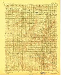
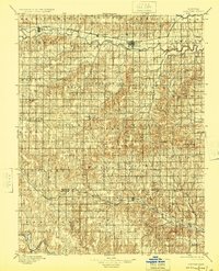
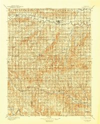
The South Fork Solomon River defines the northern landscape of this region, providing the vital water source that anchored early North Central Kansas settlements. Along its banks, the Missouri Pacific railroad connects established townsites like Alton and Bloomington to the county seat at Osborne. The map reveals a dense network of early townships and small rural centers, including Corinth, Tipton, and Bristow, which served the surrounding agricultural homesteads during this period of expansion.
Find a feature on this map
64 named features on this map. Tap any name to fly to it.
Don’t see what you’re looking for? This feature index may not catch every label — zoom into the map to look around manually.
Map Details
Editions of this 1896 Osborne Map
4 editions found
Other maps of this area

1893 · Smith Center
USGS Topo · 1:125,000

1893 · Phillipsburg
USGS Topo · 1:125,000

1894 · Ellsworth
USGS Topo · 1:125,000

1894 · Mankato
USGS Topo · 1:125,000

1894 · Beloit
USGS Topo · 1:125,000

1896 · Russell
USGS Topo · 1:125,000

1896 · Hays
USGS Topo · 1:125,000

1896 · Plainville
USGS Topo · 1:125,000

1953 · Downs South
USGS Topo · 1:24,000

1953 · Waconda Springs
USGS Topo · 1:24,000