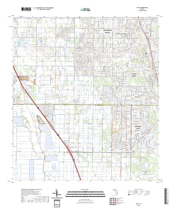
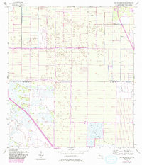
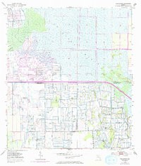
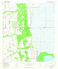
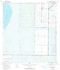
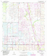
2024 Map of Oslo
USGS Topo · Published 2024About this map
The transition between Indian River and St. Lucie counties is defined by a dense network of suburban developments and aviation facilities situated just west of the Indian River Lagoon. Significant residential growth centers around Vero Beach South and the Florida Ridge, while the namesake settlement of Oslo sits along the eastern edge near Oslo Cem. This 2024 survey illustrates how the coastal landscape has been organized into precise residential blocks and transportation corridors.
Find a feature on this map
21 named features on this map. Tap any name to fly to it.
Don’t see what you’re looking for? This feature index may not catch every label — zoom into the map to look around manually.
Map Details
Editions of this 2024 Oslo Map
This is the sole edition of this map. No revisions or reprints were ever made.
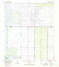
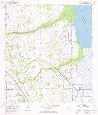
Historical Maps of Nevins Through Time
20 maps found
1948 Riomar
Indian River County, FL
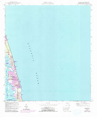
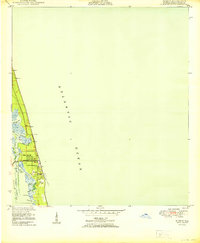
1949 Oslo
Indian River County, FL
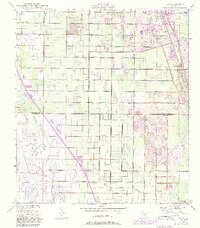
1950 Oslo
Indian River County, FL
1950 Riomar
Indian River County, FL
1953 East of Gum Slough
Indian River County, FL
1953 Fellsmere SW
Indian River County, FL
1953 Fort Drum NE
Indian River County, FL
1953 Gum Slough
Indian River County, FL
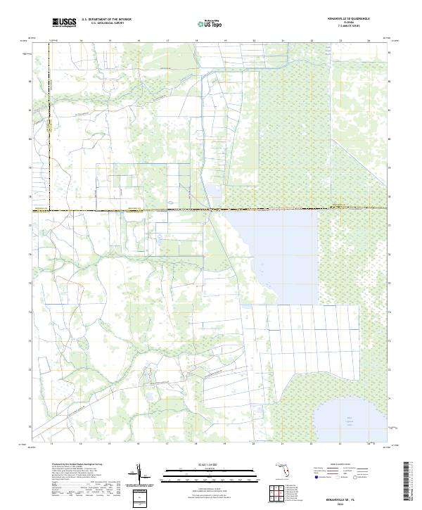
1953 Kenansville SE
Indian River County, FL
1953 North Of Gum Slough
Indian River County, FL
1953 South of Fellsmere
Indian River County, FL
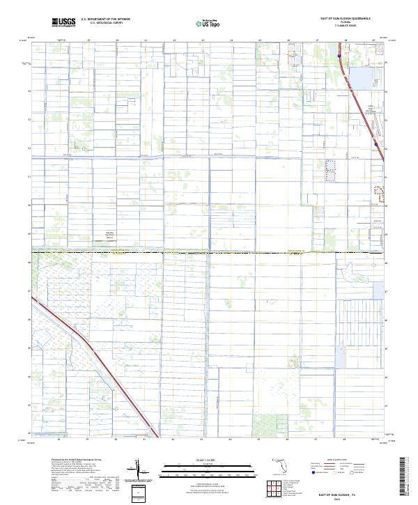
2024 East of Gum Slough
Indian River County, FL
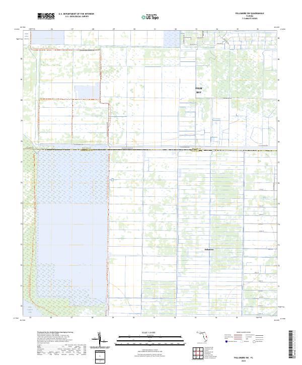
2024 Fellsmere SW
Indian River County, FL
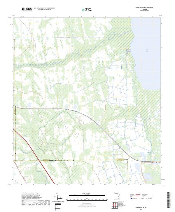
2024 Fort Drum NE
Indian River County, FL
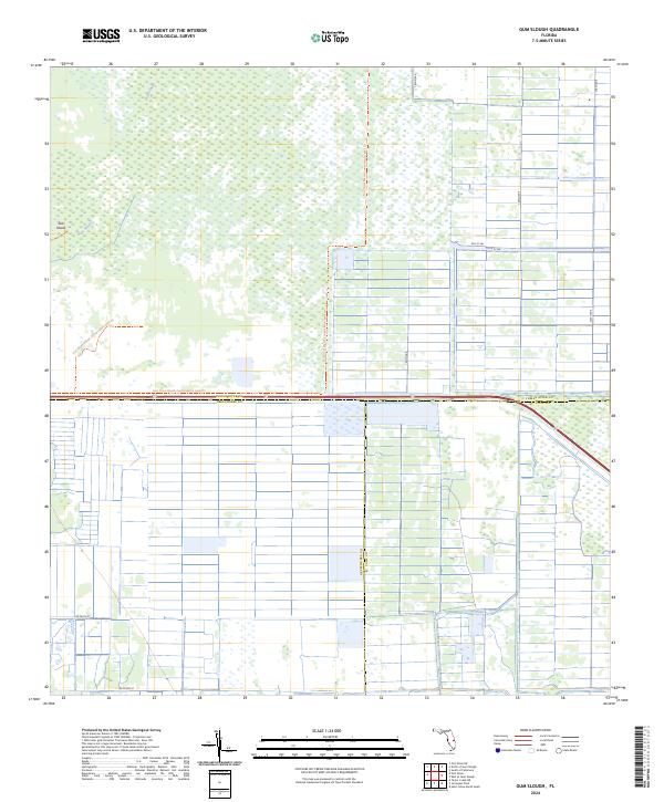
2024 Gum Slough
Indian River County, FL
2024 Kenansville SE
Indian River County, FL
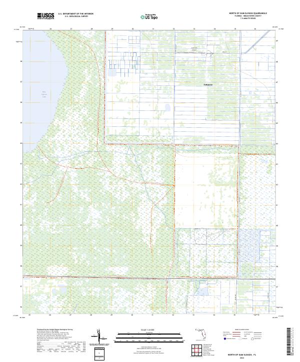
2024 North of Gum Slough
Indian River County, FL
2024 Oslo
Indian River County, FL
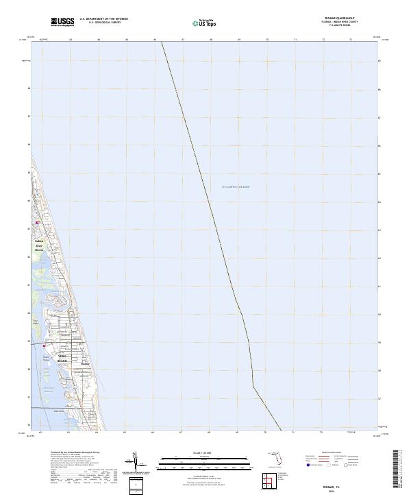
2024 Riomar
Indian River County, FL
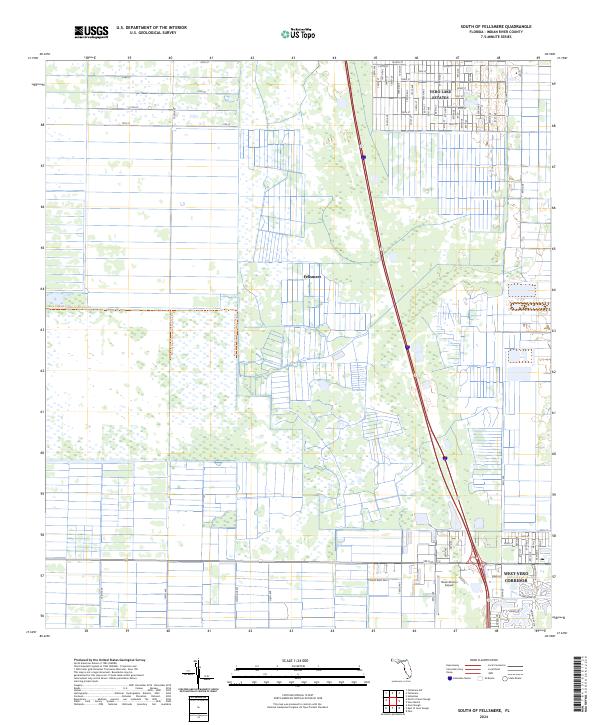
2024 South of Fellsmere
Indian River County, FL