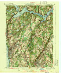
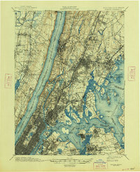
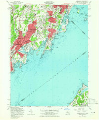
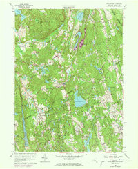
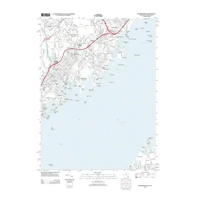
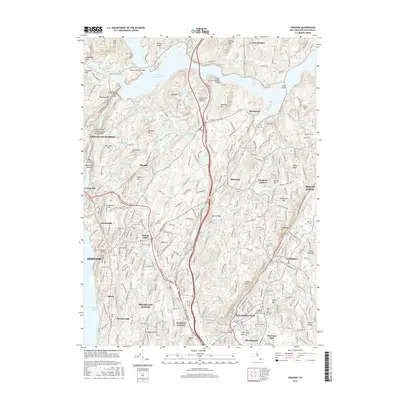
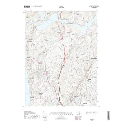
1943 Map of Ossining
USGS Topo · Published 1943About this map
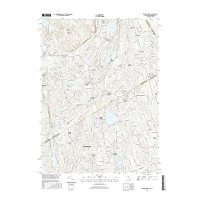
Sing Sing Prison and the busy riverside docks of Ossining anchor this mid-century survey of Westchester County's transition from riverfront industry to expansive upland estates. The shoreline of the Hudson River is dominated by the New York Central railroad corridor, while the inland terrain is defined by the massive New Croton Reservoir and its monumental Croton Dam.
Find a feature on this map
107 named features on this map. Tap any name to fly to it.
Don’t see what you’re looking for? This feature index may not catch every label — zoom into the map to look around manually.
Map Details
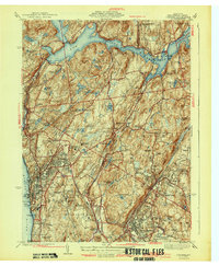
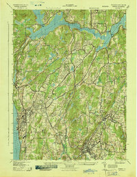
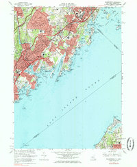
Editions of this 1943 Ossining Map
4 editions found
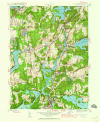
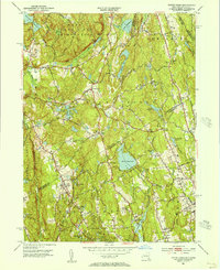
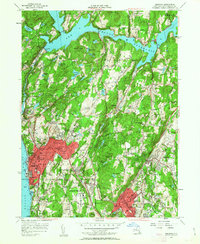
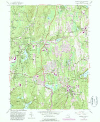
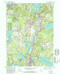
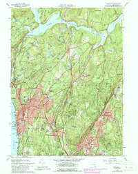
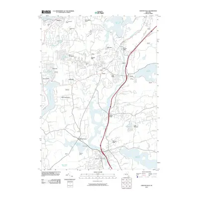
Historical Maps of Mount Pleasant Through Time
41 maps found
1897 Harlem
Westchester County, NY

1898 Harlem
Westchester County, NY
1900 Harlem
Westchester County, NY

1936 Ossining
Westchester County, NY
1943 Ossining
Westchester County, NY
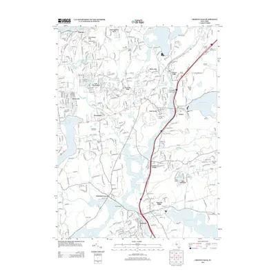
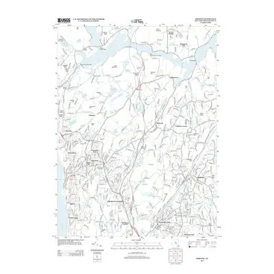
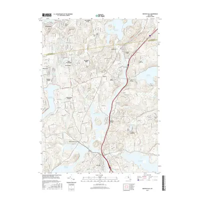
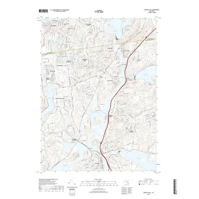
1944 Croton Falls
Westchester County, NY

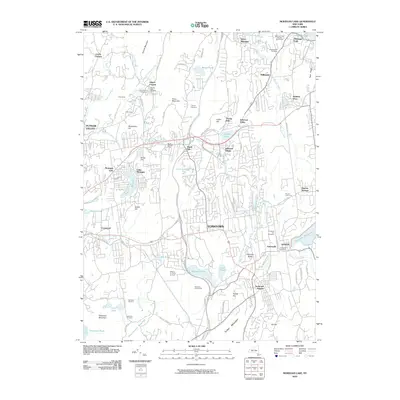
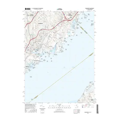
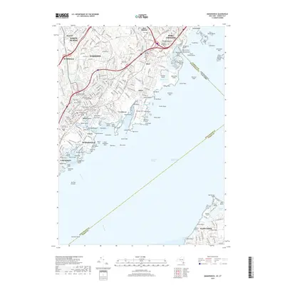
1947 Mamaroneck
Westchester County, NY

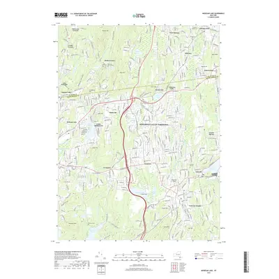
1947 Mt Vernon
Westchester County, NY

1947 Pound Ridge
Westchester County, NY
1951 Pound Ridge
Westchester County, NY
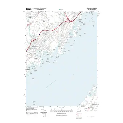
1955 Mamaroneck
Westchester County, NY
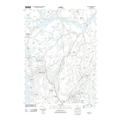
1955 Ossining
Westchester County, NY
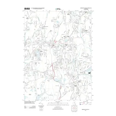
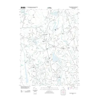
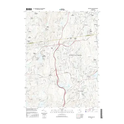
1956 Mohegan Lake
Westchester County, NY
1960 Croton Falls
Westchester County, NY
1960 Pound Ridge
Westchester County, NY
1967 Mamaroneck
Westchester County, NY
1967 Ossining
Westchester County, NY
2010 Croton Falls
Westchester County, NY
2010 Mohegan Lake
Westchester County, NY
2010 Ossining
Westchester County, NY
2011 Mamaroneck
Westchester County, NY
2013 Croton Falls
Westchester County, NY
2013 Mamaroneck
Westchester County, NY
2013 Mohegan Lake
Westchester County, NY
2013 Ossining
Westchester County, NY
2013 Pound Ridge
Westchester County, NY
2016 Croton Falls
Westchester County, NY
2016 Mamaroneck
Westchester County, NY
2016 Mohegan Lake
Westchester County, NY
2016 Ossining
Westchester County, NY
2016 Pound Ridge
Westchester County, NY
2019 Croton Falls
Westchester County, NY
2019 Mamaroneck
Westchester County, NY
2019 Mohegan Lake
Westchester County, NY
2019 Ossining
Westchester County, NY
2019 Pound Ridge
Westchester County, NY

2023 Croton Falls
Westchester County, NY

2023 Mamaroneck
Westchester County, NY

2023 Mohegan Lake
Westchester County, NY

2023 Ossining
Westchester County, NY

2023 Pound Ridge
Westchester County, NY