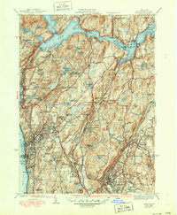
1943 Map of Ossining
USGS Topo · Published 1950About this map
Sing Sing Prison stands along the banks of the Hudson River in this mid-century survey of Westchester County, representing a pivotal era of regional development. The landscape is defined by the massive infrastructure of the New York Reservoir system, including the Croton Dam and Pines Bridge, which reshaped the valleys of Cortlandt and Yorktown. Settlement patterns reflect a mix of established village centers like Ossining and Pleasantville alongside institutional landmarks such as Maryknoll Seminary and Briarcliff Junior College.
Find a feature on this map
114 named features on this map. Tap any name to fly to it.
Don’t see what you’re looking for? This feature index may not catch every label — zoom into the map to look around manually.
Map Details
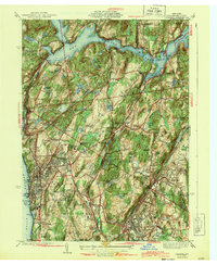
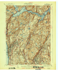
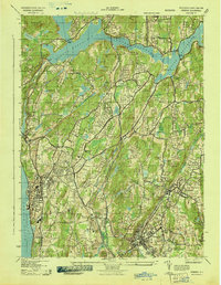
Editions of this 1943 Ossining Map
4 editions found
Other maps of this area

1892 · Stamford
USGS Topo · 1:62,500

1892 · West Point
USGS Topo · 1:62,500

1892 · Carmel
USGS Topo · 1:62,500

1892 · Tarrytown
USGS Topo · 1:62,500

1893 · Carmel
USGS Topo · 1:62,500

1893 · Stamford
USGS Topo · 1:62,500

1893 · Tarrytown
USGS Topo · 1:62,500

1894 · West Point
USGS Topo · 1:62,500

1894 · Carmel
USGS Topo · 1:62,500

1899 · Stamford
USGS Topo · 1:62,500