
1904 Map of Ouray
USGS Topo · Published 1904About this map
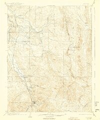
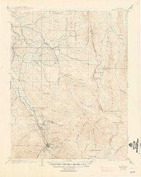
The Ouray mining district at the turn of the century is defined by its deep canyons and the heavy industrial presence of the Denver and Rio Grande RR, which follows the course of the Uncompahgre River. This survey captures the town of Ouray tucked against massive geological formations like The Amphitheater and Cascade Mtn., while smaller settlements such as Portland and Bachelor Switch appear along the rail line to the north.
Find a feature on this map
51 named features on this map. Tap any name to fly to it.
Don’t see what you’re looking for? This feature index may not catch every label — zoom into the map to look around manually.
Map Details
Editions of this 1904 Ouray Map
3 editions found
Other maps of this area

1897 · Telluride
USGS Topo · 1:62,500

1897 · Silverton
USGS Topo · 1:62,500

1901 · Silverton
USGS Topo · 1:62,500

1902 · Silverton
USGS Topo · 1:62,500

1902 · Ouray
USGS Topo · 1:62,500

1903 · Lake City
USGS Topo · 1:62,500

1904 · Telluride
USGS Topo · 1:62,500

1905 · Lake City
USGS Topo · 1:62,500

1905 · San Cristobal
USGS Topo · 1:125,000

1907 · San Cristobal
USGS Topo · 1:125,000