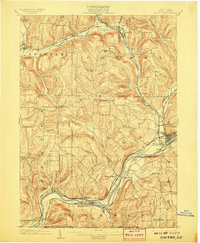
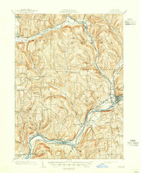
1903 Map of Owego
USGS Topo · Published 1907About this map
The Susquehanna River carves a deep valley through the Southern Tier, anchoring a landscape defined by turn-of-the-century rail corridors and river-bottom hamlets. This 1900 survey documents Owego as a significant regional hub where the Erie R. R. and the Delaware Lackawanna and Western R. R. converge, serving industrial sites like Deans Tannery. Further north, the Catatonk Creek valley supports a string of settlements including Candor and Catatonk, while upland areas are dotted with family-named landmarks and smaller communities such as Rhoadville and Straits Corners. The intricate network of secondary roads and local brooks like Pipe Creek reveals a well-established agricultural and timber-economy footprint. From the northern waters of Spencer Lake to the southern New York Pennsylvania Boundary Line, the map captures the transition from high ridgelines to the broad floodplains that shaped Tioga County's early development.
Find a feature on this map
59 named features on this map. Tap any name to fly to it.
Don’t see what you’re looking for? This feature index may not catch every label — zoom into the map to look around manually.
Map Details
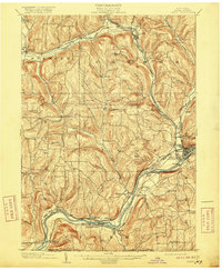
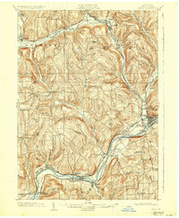
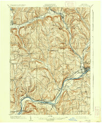
Editions of this 1903 Owego Map
6 editions found
Other maps of this area

1893 · Ithaca
USGS Topo · 1:62,500

1895 · Ithaca
USGS Topo · 1:62,500

1900 · Dryden
USGS Topo · 1:62,500

1901 · Apalachin
USGS Topo · 1:62,500

1902 · Waverly
USGS Topo · 1:62,500

1903 · Owego
USGS Topo · 1:62,500

1903 · Harford
USGS Topo · 1:62,500

1904 · Apalachin
USGS Topo · 1:62,500

1905 · Watkins Glen
USGS Topo · 1:125,000

1906 · Catatonk
USGS Topo · 1:125,000