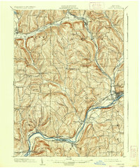
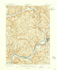
1903 Map of Owego
USGS Topo · Published 1937About this map
The Susquehanna River carves a deep valley through the southern Tioga County hills, serving as the primary corridor for regional transport and settlement at the turn of the century. Along its banks, the village of Owego stands as a significant hub where the Erie R. R. and the Delaware Lackawanna and Western railroads converge. This era shows a landscape tightly organized around rail logistics, with industrial and agricultural outposts like Goodrich Settlement and Lounsberry positioned to take advantage of the river-level grade.
Find a feature on this map
56 named features on this map. Tap any name to fly to it.
Don’t see what you’re looking for? This feature index may not catch every label — zoom into the map to look around manually.
Map Details
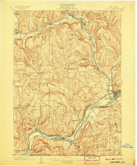
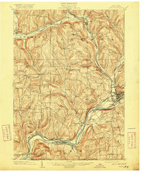
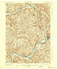
Editions of this 1903 Owego Map
6 editions found
Other maps of this area

1893 · Ithaca
USGS Topo · 1:62,500

1895 · Ithaca
USGS Topo · 1:62,500

1900 · Dryden
USGS Topo · 1:62,500

1901 · Apalachin
USGS Topo · 1:62,500

1902 · Waverly
USGS Topo · 1:62,500

1903 · Owego
USGS Topo · 1:62,500

1903 · Harford
USGS Topo · 1:62,500

1904 · Apalachin
USGS Topo · 1:62,500

1905 · Watkins Glen
USGS Topo · 1:125,000

1906 · Catatonk
USGS Topo · 1:125,000