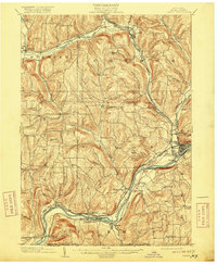
1903 Map of Owego
USGS Topo · Published 1916About this map
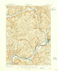
The Susquehanna River carves a dominant path through the southern half of this Tioga County landscape, defining the layout of riverfront communities like Nichols and Tioga Center. At the turn of the century, the region was a bustling intersection of rail transport and rural commerce, with the Lehigh Valley and the Delaware Lackawanna and Western railroads threading through the valleys to serve settlements such as Candor and Owego.
Find a feature on this map
59 named features on this map. Tap any name to fly to it.
Don’t see what you’re looking for? This feature index may not catch every label — zoom into the map to look around manually.
Map Details
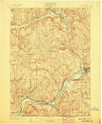
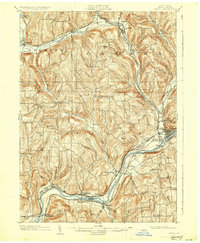
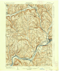
Editions of this 1903 Owego Map
6 editions found
Other maps of this area

1893 · Ithaca
USGS Topo · 1:62,500

1895 · Ithaca
USGS Topo · 1:62,500

1900 · Dryden
USGS Topo · 1:62,500

1901 · Apalachin
USGS Topo · 1:62,500

1902 · Waverly
USGS Topo · 1:62,500

1903 · Owego
USGS Topo · 1:62,500

1903 · Harford
USGS Topo · 1:62,500

1904 · Apalachin
USGS Topo · 1:62,500

1905 · Watkins Glen
USGS Topo · 1:125,000

1906 · Catatonk
USGS Topo · 1:125,000