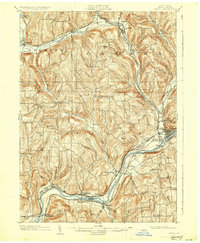
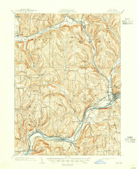
1903 Map of Owego
USGS Topo · Published 1930About this map
The Susquehanna River flows through the heart of the Southern Tier in this 1900 survey, anchoring a landscape defined by sharp ridge lines and industrious valley settlements. The village of Owego serves as a primary hub where the Erie Railroad meets the Lehigh Valley Railroad, illustrating the vital role of rail transport in the early 20th-century economy. To the north, the winding course of Catatonk Creek connects Candor and Spencer, while smaller rural clusters like Goodrich Settlement and Rhodesville offer a window into the localized community structures of Tioga County. Topographic details highlight the prominence of Hubbard Hill and Prospect Hill, which overlook a network of tributary streams including Pipe Creek and Wappasening Creek. This map captures the region at a transitional moment, showing the established infrastructure of the Nichols and Barton townships before modern highway development altered the traditional valley corridors.
Find a feature on this map
57 named features on this map. Tap any name to fly to it.
Don’t see what you’re looking for? This feature index may not catch every label — zoom into the map to look around manually.
Map Details
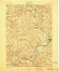
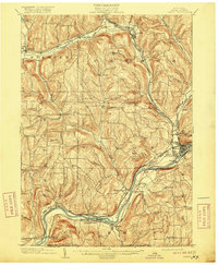
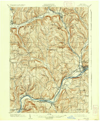
Editions of this 1903 Owego Map
6 editions found
Other maps of this area

1893 · Ithaca
USGS Topo · 1:62,500

1895 · Ithaca
USGS Topo · 1:62,500

1900 · Dryden
USGS Topo · 1:62,500

1901 · Apalachin
USGS Topo · 1:62,500

1902 · Waverly
USGS Topo · 1:62,500

1903 · Owego
USGS Topo · 1:62,500

1903 · Harford
USGS Topo · 1:62,500

1904 · Apalachin
USGS Topo · 1:62,500

1905 · Watkins Glen
USGS Topo · 1:125,000

1906 · Catatonk
USGS Topo · 1:125,000