
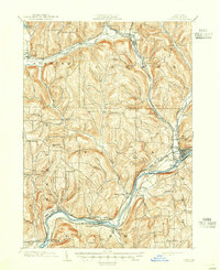
1903 Map of Owego
USGS Topo · Published 1903About this map
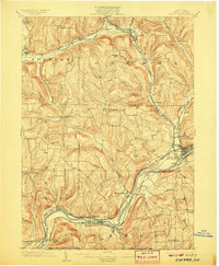
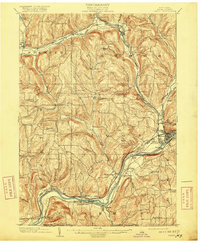
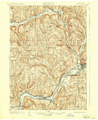
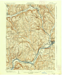
The Susquehanna River carves a deep valley through the southern half of this Tioga County landscape, defining the industrial and transportation corridor at the turn of the century. Settlements like Owego and Nichols are centers of activity along the river, while the complex rail network of the Erie R.R. and multiple branches of the Lehigh Valley R.R. stitch together the surrounding uplands. To the north, the terrain transitions into a series of ridges and narrow creek valleys, where smaller hamlets such as Straits Corners and Halsey Valley serve more remote farming districts.
Find a feature on this map
61 named features on this map. Tap any name to fly to it.
Don’t see what you’re looking for? This feature index may not catch every label — zoom into the map to look around manually.
Map Details
Editions of this 1903 Owego Map
6 editions found
Other maps of this area

1893 · Ithaca
USGS Topo · 1:62,500

1895 · Ithaca
USGS Topo · 1:62,500

1900 · Dryden
USGS Topo · 1:62,500

1901 · Apalachin
USGS Topo · 1:62,500

1902 · Waverly
USGS Topo · 1:62,500

1903 · Harford
USGS Topo · 1:62,500

1904 · Apalachin
USGS Topo · 1:62,500

1905 · Watkins Glen
USGS Topo · 1:125,000

1906 · Catatonk
USGS Topo · 1:125,000

1923 · Towanda
USGS Topo · 1:62,500