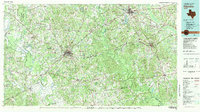
1981 Map of Palestine
USGS Topo · Published 1981About this map
Palestine serves as the central hub of this East Texas region, where the industrial presence of a Refinery and a vast network of rail lines including the Missouri Pacific Railroad and the Texas State Railroad define the local economy. The landscape is a complex mix of agricultural land and managed wilderness, stretching from the Coffield State Prison Farm in the west to the dense timber of the Davy Crockett National Forest in the southeast.
Find a feature on this map
141 named features on this map. Tap any name to fly to it.
Don’t see what you’re looking for? This feature index may not catch every label — zoom into the map to look around manually.
Map Details
Editions of this 1981 Palestine Map
This is the sole edition of this map. No revisions or reprints were ever made.
Other maps of this area
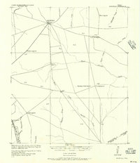
1919 · Fairfield
USGS Topo · 1:62,500
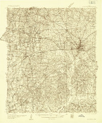
1935 · Henderson
USGS Topo · 1:48,000
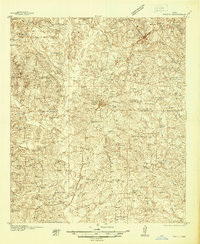
1937 · Troupe
USGS Topo · 1:48,000
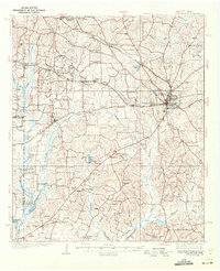
1939 · Henderson
USGS Topo · 1:62,500
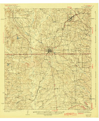
1943 · Troup
USGS Topo · 1:62,500
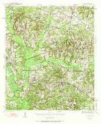
1943 · Cushing
USGS Topo · 1:62,500
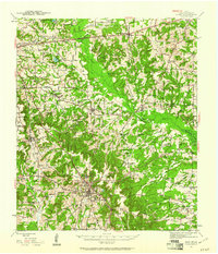
1943 · Rusk
USGS Topo · 1:62,500
1945 · Cushing
USGS Topo · 1:62,500
1945 · Rusk
USGS Topo · 1:62,500
1946 · Alto
USGS Topo · 1:62,500