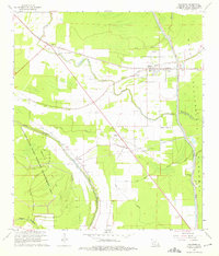
1968 Map of Palmetto
USGS Topo · Published 1975About this map
Texas and Pacific rails cut a diagonal path through this corner of St. Landry Parish, anchoring small communities like Palmetto and Lebeau during the late 1960s. The landscape is defined by its complex hydrology, where the Glaises Diversion Channel and the Atchafalaya Floodway manage the flow of water across the alluvial plains. This environment is home to several distinct rural congregations and educators, including the Immaculate Conception Sch and St Pauls Ch.
Find a feature on this map
41 named features on this map. Tap any name to fly to it.
Don’t see what you’re looking for? This feature index may not catch every label — zoom into the map to look around manually.
Map Details
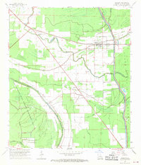
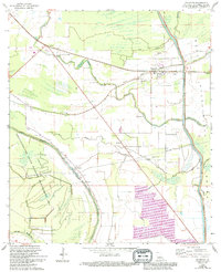
Editions of this 1968 Palmetto Map
3 editions found
Other maps of this area

1939 · Opelousas
USGS Topo · 1:62,500

1948 · Bunkie
USGS Topo · 1:62,500

1952 · Lake Charles
USGS Topo · 1:250,000

1954 · Lake Charles
USGS Topo · 1:250,000

1954 · Baton Rouge
USGS Topo · 1:250,000

1955 · Odenburg
USGS Topo · 1:62,500

1956 · Opelousas
USGS Topo · 1:62,500

1956 · Baton Rouge
USGS Topo · 1:250,000

1957 · Opelousas
USGS Topo · 1:62,500

1959 · Palmetto
USGS Topo · 1:62,500