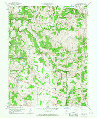
1966 Map of Palmyra
USGS Topo · Published 1968About this map
The Old Indian Treaty Boundary slices diagonally across the landscape of southern Indiana, marking a historic line between the townships of Jackson and Morgan. This 1966 revision illustrates a rural region where small crossroad settlements like Martinsburg and Palmyra serve as local hubs. The northern section is dominated by the winding course of the Blue River and the South Fork, while the northeastern corner shows the alignment of the Monon RR passing through Pekin. Family and community history is deeply rooted here, evidenced by numerous small burial grounds such as Rickard Cem and Hiestand Cem. Educational and spiritual centers like the Morgan Twp High Sch, Big Springs Ch, and Bethlehem Church anchor the rural neighborhoods scattered throughout the wooded hills and creek valleys.
Find a feature on this map
45 named features on this map. Tap any name to fly to it.
Don’t see what you’re looking for? This feature index may not catch every label — zoom into the map to look around manually.
Map Details
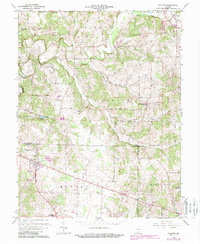
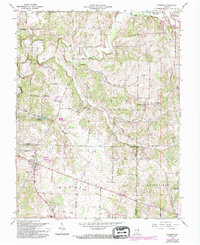
Editions of this 1966 Palmyra Map
3 editions found
Other maps of this area

1939 · Georgetown
USGS Topo · 1:24,000

1941 · Borden
USGS Topo · 1:24,000

1946 · Depauw
USGS Topo · 1:24,000

1947 · Georgetown
USGS Topo · 1:24,000

1949 · Georgetown
USGS Topo · 1:24,000

1950 · Salem
USGS Topo · 1:24,000

1950 · Becks Mill
USGS Topo · 1:24,000

1950 · Palmyra
USGS Topo · 1:24,000
1952 · Georgetown
USGS Topo · 1:24,000

1953 · Fredericksburg
USGS Topo · 1:24,000