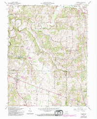
1966 Map of Palmyra
USGS Topo · Published 1994About this map
The Monon RR cuts through the northeast corner of this landscape, connecting the rural communities of New Pekin and Old Pekin. This region, where the borders of Harrison, Washington, and Floyd counties meet, is defined by the winding course of the South Fork Blue River and its numerous tributaries like Dutch Creek and Bear Creek. The settlement pattern centers on small hubs such as Martinsburg and Palmyra, with the latter featuring Palmyra Lake and the Township High Sch. Local genealogy and land-use history are well-documented through numerous family-named landmarks and country graveyards, including the Rickard Cem, Voyles Cem, and Martinsburg Cem. A notable geographic feature, Bear Creek Hill, rises above the drainage of Licking Creek, while the southern reaches show the Greenville Reservoir near the town of Greenville.
Find a feature on this map
51 named features on this map. Tap any name to fly to it.
Don’t see what you’re looking for? This feature index may not catch every label — zoom into the map to look around manually.
Map Details
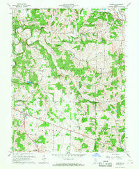
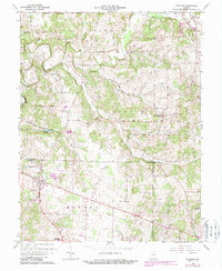
Editions of this 1966 Palmyra Map
3 editions found
Other maps of this area

1939 · Georgetown
USGS Topo · 1:24,000

1941 · Borden
USGS Topo · 1:24,000

1946 · Depauw
USGS Topo · 1:24,000

1947 · Georgetown
USGS Topo · 1:24,000

1949 · Georgetown
USGS Topo · 1:24,000

1950 · Salem
USGS Topo · 1:24,000

1950 · Becks Mill
USGS Topo · 1:24,000

1950 · Palmyra
USGS Topo · 1:24,000
1952 · Georgetown
USGS Topo · 1:24,000

1953 · Fredericksburg
USGS Topo · 1:24,000