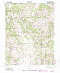
1966 Map of Palmyra
USGS Topo · Published 1988About this map
The Indian Treaty Boundary cuts a diagonal path through this Indiana landscape, marking a historical division between tribal lands and early American settlement. Stretching across the border of Washington, Harrison, and Floyd counties, the area is defined by the winding course of the South Fork Blue River and its numerous tributaries like Dutch Creek and Bear Creek. The small community of Palmyra serves as a local crossroads, supported by a network of rural routes such as Old Palmyra Road and Big Springs Road.
Find a feature on this map
50 named features on this map. Tap any name to fly to it.
Don’t see what you’re looking for? This feature index may not catch every label — zoom into the map to look around manually.
Map Details
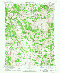
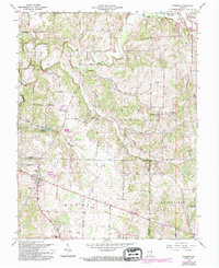
Editions of this 1966 Palmyra Map
3 editions found
Other maps of this area

1939 · Georgetown
USGS Topo · 1:24,000

1941 · Borden
USGS Topo · 1:24,000

1946 · Depauw
USGS Topo · 1:24,000

1947 · Georgetown
USGS Topo · 1:24,000

1949 · Georgetown
USGS Topo · 1:24,000

1950 · Salem
USGS Topo · 1:24,000

1950 · Becks Mill
USGS Topo · 1:24,000

1950 · Palmyra
USGS Topo · 1:24,000
1952 · Georgetown
USGS Topo · 1:24,000

1953 · Fredericksburg
USGS Topo · 1:24,000