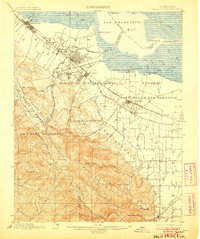
1899 Map of Palo Alto
USGS Topo · Published 1906About this map
Stanford University and the nascent town of Palo Alto anchor this late 19th-century landscape of the San Francisco Peninsula. This survey documents a transitional era where massive Spanish land grants like Rincon de San Francisquito and Pastoria de las Borregas still define the geography, yet the Southern Pacific railroad is driving the growth of modern rail suburbs. Further south, the map reveals the split between Mountain View and Old Mountain View, a distinction marking the shift of commerce toward the railroad tracks.
Find a feature on this map
72 named features on this map. Tap any name to fly to it.
Don’t see what you’re looking for? This feature index may not catch every label — zoom into the map to look around manually.
Map Details
Editions of this 1899 Palo Alto Map
11 editions found

1899 edition
16.6 x 19.8 inches
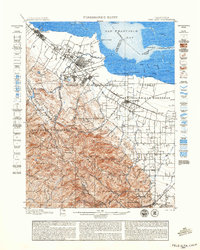
1899 edition
18.8 x 23.5 inches
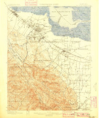
1901 edition
16.6 x 19.8 inches
1906 edition
16.6 x 19.9 inches
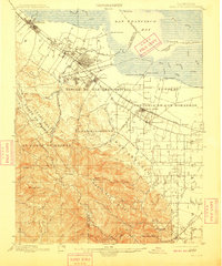
1909 edition
16.6 x 19.9 inches
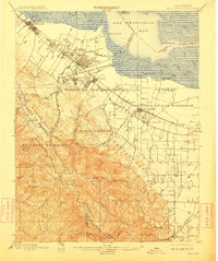
1911 edition
16.6 x 19.8 inches
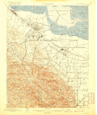
1920 edition
16.6 x 19.7 inches
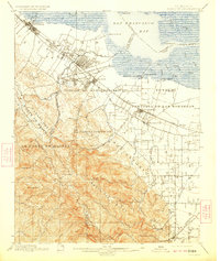
1923 edition
16.6 x 19.7 inches
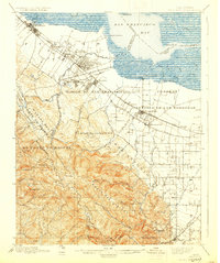
1930 edition
16.6 x 19.8 inches
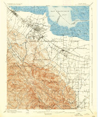
1937 edition
16.6 x 19.8 inches
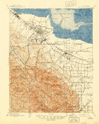
1944 edition
16.6 x 20.8 inches
Other maps of this area

1889 · San Jose
USGS Topo · 1:62,500

1892 · San Mateo
USGS Topo · 1:62,500

1896 · San Mateo
USGS Topo · 1:62,500

1897 · San Jose
USGS Topo · 1:62,500

1897 · Palo Alto
USGS Topo · 1:62,500

1899 · San Jose
USGS Topo · 1:62,500
1899 · Palo Alto
USGS Topo · 1:62,500

1899 · Haywards
USGS Topo · 1:62,500

1899 · San Mateo
USGS Topo · 1:62,500

1902 · Santa Cruz
USGS Topo · 1:125,000