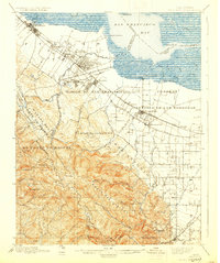
1899 Map of Palo Alto
USGS Topo · Published 1930About this map
Stanford University and the emerging town of Palo Alto serve as the focal point of this late 19th-century landscape, positioned where the flatlands meet the foothills. The map reveals a transition from the marshy edges of San Francisco Bay, marked by maritime points like Cooley Landing and Mountain View Ldg., to the established Spanish land grant territories. Large tracts like Rincon de San Francisquito and Pastoria de las Borregas still define the local geography, even as the Southern Pacific railroad facilitates the growth of towns like Mayfield and Castro. To the south, the terrain rises into Monte Bello Ridge, dotted with family-named landmarks such as Langley Hill and Mindego Hill. The presence of both Mountain View and Old Mountain View illustrates the shifting centers of commerce as the railroad reshaped Santa Clara County's layout.
Find a feature on this map
72 named features on this map. Tap any name to fly to it.
Don’t see what you’re looking for? This feature index may not catch every label — zoom into the map to look around manually.
Map Details
Editions of this 1899 Palo Alto Map
11 editions found

1899 edition
16.6 x 19.8 inches
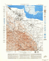
1899 edition
18.8 x 23.5 inches
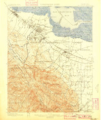
1901 edition
16.6 x 19.8 inches
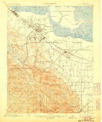
1906 edition
16.6 x 19.9 inches
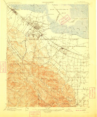
1909 edition
16.6 x 19.9 inches
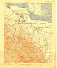
1911 edition
16.6 x 19.8 inches
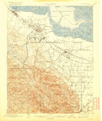
1920 edition
16.6 x 19.7 inches
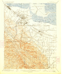
1923 edition
16.6 x 19.7 inches
1930 edition
16.6 x 19.8 inches
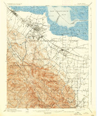
1937 edition
16.6 x 19.8 inches
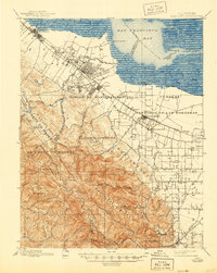
1944 edition
16.6 x 20.8 inches
Other maps of this area

1889 · San Jose
USGS Topo · 1:62,500

1892 · San Mateo
USGS Topo · 1:62,500

1896 · San Mateo
USGS Topo · 1:62,500

1897 · San Jose
USGS Topo · 1:62,500

1897 · Palo Alto
USGS Topo · 1:62,500

1899 · San Jose
USGS Topo · 1:62,500
1899 · Palo Alto
USGS Topo · 1:62,500

1899 · Haywards
USGS Topo · 1:62,500

1899 · San Mateo
USGS Topo · 1:62,500

1902 · Santa Cruz
USGS Topo · 1:125,000