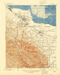
1899 Map of Palo Alto
USGS Topo · Published 1944About this map
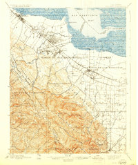
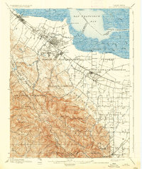
The Southern Pacific RR anchors the Peninsula’s development at the turn of the century, threading together the growing town of Palo Alto with nearby Mayfield and Menlo Park. The landscape is dominated by the sprawling boundaries of Spanish land grants, such as Rinconada del Arroyo de San Francisquito and Pastoria de las Borregas, which define property patterns long after the ranching era. In the lowlands near San Francisco Bay, industrial and transport hubs like Cooley Landing and Jagel Landing highlight the early importance of maritime access before inland infrastructure matured. To the west, the Santa Cruz Mountains rise steeply, with Stanford University situated at the foothills of Monte Bello Ridge. This survey captures the transition from vast rancho estates to modern university and railway-centered urban centers, while noting the location of Old Mountain View distinct from the newer rail-aligned settlement.
Find a feature on this map
70 named features on this map. Tap any name to fly to it.
Don’t see what you’re looking for? This feature index may not catch every label — zoom into the map to look around manually.
Map Details
Editions of this 1899 Palo Alto Map
11 editions found

1899 edition
16.6 x 19.8 inches
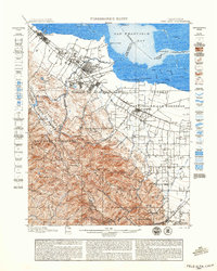
1899 edition
18.8 x 23.5 inches
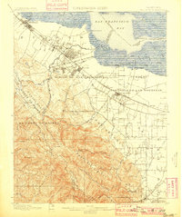
1901 edition
16.6 x 19.8 inches
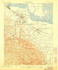
1906 edition
16.6 x 19.9 inches
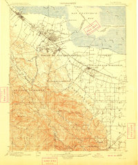
1909 edition
16.6 x 19.9 inches
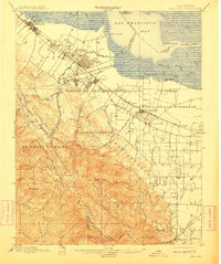
1911 edition
16.6 x 19.8 inches
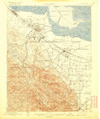
1920 edition
16.6 x 19.7 inches
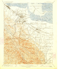
1923 edition
16.6 x 19.7 inches
1930 edition
16.6 x 19.8 inches
1937 edition
16.6 x 19.8 inches
1944 edition
16.6 x 20.8 inches
Other maps of this area

1889 · San Jose
USGS Topo · 1:62,500

1892 · San Mateo
USGS Topo · 1:62,500

1896 · San Mateo
USGS Topo · 1:62,500

1897 · San Jose
USGS Topo · 1:62,500

1897 · Palo Alto
USGS Topo · 1:62,500

1899 · San Jose
USGS Topo · 1:62,500
1899 · Palo Alto
USGS Topo · 1:62,500

1899 · Haywards
USGS Topo · 1:62,500

1899 · San Mateo
USGS Topo · 1:62,500

1902 · Santa Cruz
USGS Topo · 1:125,000