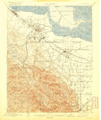
1899 Map of Palo Alto
USGS Topo · Published 1920About this map
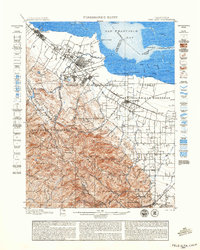
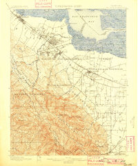
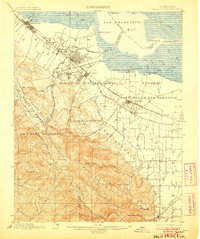
The southern reach of San Francisco Bay dominates the northern landscape of this survey, where tidal sloughs and landings like Cooley Landing and Guth Landing meet the developing rail corridors of the late nineteenth century. The Southern Pacific RR serves a string of growing communities including Redwood, Menlo Park, and the recently established Palo Alto, while the grounds of Stanford University are clearly delineated near San Francisquito Creek.
Find a feature on this map
57 named features on this map. Tap any name to fly to it.
Don’t see what you’re looking for? This feature index may not catch every label — zoom into the map to look around manually.
Map Details
Editions of this 1899 Palo Alto Map
11 editions found

1899 edition
16.6 x 19.8 inches
1899 edition
18.8 x 23.5 inches
1901 edition
16.6 x 19.8 inches
1906 edition
16.6 x 19.9 inches
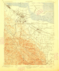
1909 edition
16.6 x 19.9 inches
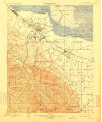
1911 edition
16.6 x 19.8 inches
1920 edition
16.6 x 19.7 inches
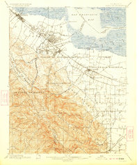
1923 edition
16.6 x 19.7 inches
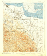
1930 edition
16.6 x 19.8 inches
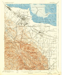
1937 edition
16.6 x 19.8 inches
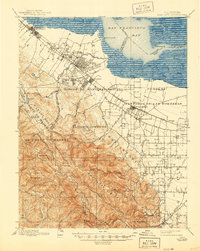
1944 edition
16.6 x 20.8 inches
Other maps of this area

1889 · San Jose
USGS Topo · 1:62,500

1892 · San Mateo
USGS Topo · 1:62,500

1896 · San Mateo
USGS Topo · 1:62,500

1897 · San Jose
USGS Topo · 1:62,500

1897 · Palo Alto
USGS Topo · 1:62,500

1899 · San Jose
USGS Topo · 1:62,500
1899 · Palo Alto
USGS Topo · 1:62,500

1899 · Haywards
USGS Topo · 1:62,500

1899 · San Mateo
USGS Topo · 1:62,500

1902 · Santa Cruz
USGS Topo · 1:125,000