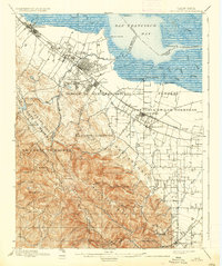
1899 Map of Palo Alto
USGS Topo · Published 1937About this map
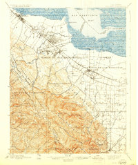
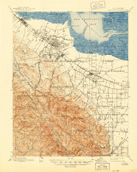
Stanford University and Catholic University anchor the developing landscape of the Peninsula at the close of the 19th century. The Southern Pacific RR carves a path through growing settlements like Menlo Park, Palo Alto, and Mayfield, while the historic Spanish land grants—represented here by labels such as Rincon de San Francisquito and Pastoria de las Borregas—still define the parceling of the valley floor. To the west, the topography rises sharply toward Monte Bello Ridge and Black Mountain, where deep canyons like El Corte de Madera remain largely unsettled.
Find a feature on this map
66 named features on this map. Tap any name to fly to it.
Don’t see what you’re looking for? This feature index may not catch every label — zoom into the map to look around manually.
Map Details
Editions of this 1899 Palo Alto Map
11 editions found

1899 edition
16.6 x 19.8 inches
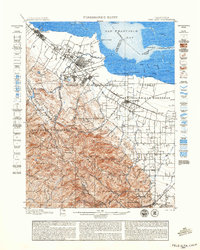
1899 edition
18.8 x 23.5 inches
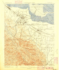
1901 edition
16.6 x 19.8 inches
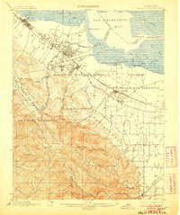
1906 edition
16.6 x 19.9 inches
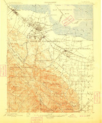
1909 edition
16.6 x 19.9 inches
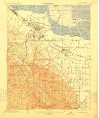
1911 edition
16.6 x 19.8 inches
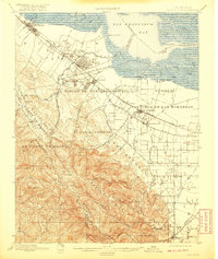
1920 edition
16.6 x 19.7 inches
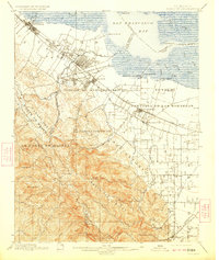
1923 edition
16.6 x 19.7 inches
1930 edition
16.6 x 19.8 inches
1937 edition
16.6 x 19.8 inches
1944 edition
16.6 x 20.8 inches
Other maps of this area

1889 · San Jose
USGS Topo · 1:62,500

1892 · San Mateo
USGS Topo · 1:62,500

1896 · San Mateo
USGS Topo · 1:62,500

1897 · San Jose
USGS Topo · 1:62,500

1897 · Palo Alto
USGS Topo · 1:62,500

1899 · San Jose
USGS Topo · 1:62,500
1899 · Palo Alto
USGS Topo · 1:62,500

1899 · Haywards
USGS Topo · 1:62,500

1899 · San Mateo
USGS Topo · 1:62,500

1902 · Santa Cruz
USGS Topo · 1:125,000