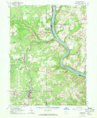
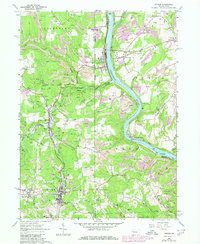
1963 Map of Parker
USGS Topo · Published 1971About this map
The Allegheny River and Clarion River converge in a landscape defined by Pennsylvania's early industrial legacy during the early 1960s. This survey captures a region densely punctuated by extractive activity, where countless Oil Wells, Gas Wells, and scattered Strip Mines neighbor established settlements like Parker. The concentration of wells around Petrolia and Karns City illustrates the enduring importance of the oil and gas fields that shaped these communities.
Find a feature on this map
63 named features on this map. Tap any name to fly to it.
Don’t see what you’re looking for? This feature index may not catch every label — zoom into the map to look around manually.
Map Details
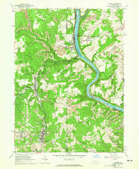
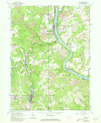
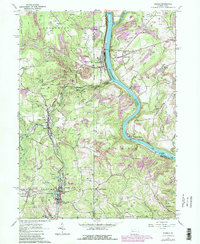
Editions of this 1963 Parker Map
5 editions found
Other maps of this area

1900 · Kittanning
USGS Topo · 1:62,500

1902 · Kittanning
USGS Topo · 1:62,500

1907 · Foxburg
USGS Topo · 1:62,500

1908 · Foxburg
USGS Topo · 1:62,500

1909 · Butler
USGS Topo · 1:62,500

1910 · Hilliards
USGS Topo · 1:62,500

1911 · Butler
USGS Topo · 1:62,500

1912 · Hilliards
USGS Topo · 1:62,500

1944 · Hilliards
USGS Topo · 1:62,500

1953 · Pittsburgh
USGS Topo · 1:250,000