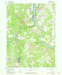
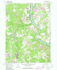
1963 Map of Parker
USGS Topo · Published 1973About this map
Allegheny River and Clarion River define this industrial and agricultural landscape where Butler, Clarion, and Armstrong counties meet. The confluence and riverbanks are dominated by a heavy transportation network including the Penn Central and Baltimore And Ohio railroads, which served the numerous strip mines and oil fields concentrated near Petrolia and Karns City. This 1963 survey, photorevised in 1972, reveals a dense pattern of extraction-based settlements and rural institutions.
Find a feature on this map
54 named features on this map. Tap any name to fly to it.
Don’t see what you’re looking for? This feature index may not catch every label — zoom into the map to look around manually.
Map Details
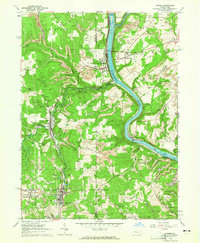
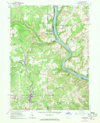
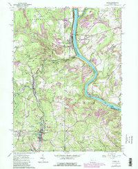
Editions of this 1963 Parker Map
5 editions found
Other maps of this area

1900 · Kittanning
USGS Topo · 1:62,500

1902 · Kittanning
USGS Topo · 1:62,500

1907 · Foxburg
USGS Topo · 1:62,500

1908 · Foxburg
USGS Topo · 1:62,500

1909 · Butler
USGS Topo · 1:62,500

1910 · Hilliards
USGS Topo · 1:62,500

1911 · Butler
USGS Topo · 1:62,500

1912 · Hilliards
USGS Topo · 1:62,500

1944 · Hilliards
USGS Topo · 1:62,500

1953 · Pittsburgh
USGS Topo · 1:250,000