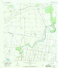
1956 Map of Paso Real
USGS Topo · Published 1959About this map
The winding Arroyo Colorado dictates the geography of this South Texas coastal plain, where the Willacy Co Cameron Co line cuts through a landscape shaped by water management and ranching. The small settlement of Paso Real sits along the river's northern bank, near several family and ranch burial grounds including Tanquesitos Cem and Sabinito Cem. The presence of the massive North Floodway running parallel to the coast reveals the engineering efforts required to control seasonal inundations in this low-lying region.
Find a feature on this map
15 named features on this map. Tap any name to fly to it.
Don’t see what you’re looking for? This feature index may not catch every label — zoom into the map to look around manually.
Map Details
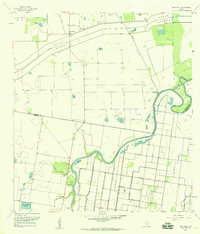
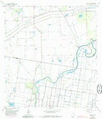
Editions of this 1956 Paso Real Map
3 editions found
Other maps of this area

1929 · Rio Hondo
USGS Topo · 1:24,000

1929 · Harlingen
USGS Topo · 1:24,000

1930 · La Leona
USGS Topo · 1:24,000

1930 · Laguna Atascosa
USGS Topo · 1:24,000

1932 · Combes
USGS Topo · 1:31,680

1932 · Rio Hondo
USGS Topo · 1:31,680

1932 · Harlingen
USGS Topo · 1:31,680

1933 · Paso Real
USGS Topo · 1:31,680

1936 · La Leona
USGS Topo · 1:31,680
1936 · Laguna Atascosa
USGS Topo · 1:31,680