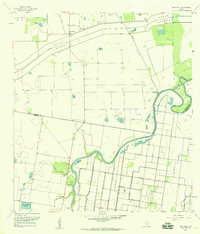
1956 Map of Paso Real
USGS Topo · Published 1959About this map
Arroyo Colorado snakes through the southern half of this coastal Texas landscape, defining a region where water management and ranching dictate the layout of the land. In the mid-1950s, the massive North Floodway and its Pilot Channel dominate the northern terrain, reflecting large-scale efforts to control the Rio Grande Valley’s runoff. Scattered throughout the brush and irrigated fields are family-centric landmarks such as Tres Norias Ranch and El Sabinito Ranch, alongside local gathering points like Santa Monica and the La Jarita Sch.
Find a feature on this map
24 named features on this map. Tap any name to fly to it.
Don’t see what you’re looking for? This feature index may not catch every label — zoom into the map to look around manually.
Map Details
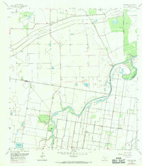
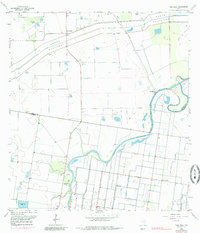
Editions of this 1956 Paso Real Map
3 editions found
Other maps of this area

1929 · Rio Hondo
USGS Topo · 1:24,000

1929 · Harlingen
USGS Topo · 1:24,000

1930 · La Leona
USGS Topo · 1:24,000

1930 · Laguna Atascosa
USGS Topo · 1:24,000

1932 · Combes
USGS Topo · 1:31,680

1932 · Rio Hondo
USGS Topo · 1:31,680

1932 · Harlingen
USGS Topo · 1:31,680

1933 · Paso Real
USGS Topo · 1:31,680

1936 · La Leona
USGS Topo · 1:31,680
1936 · Laguna Atascosa
USGS Topo · 1:31,680