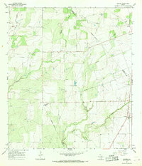
1965 Map of Pawnee
USGS Topo · Published 1968About this map
Pawnee stands as the primary settlement in this 1960s study of the South Texas brush country, where the intersection of Bee, Karnes, and Live Oak counties creates a complex network of ranching boundaries. The landscape is defined by the ephemeral drainages of the West Weedy, Little Weedy, and Sulphur Creek systems, which have shaped the local topography and placement of rural outposts. To the northwest, the small community of Nell is anchored by its local landmarks, including the Nell Cem, while El Oso occupies the northeastern reaches near the Bee County line. The map illustrates a rural economy centered on land divisions and resource extraction, evidenced by numerous Gravel Pits and isolated wells. Genealogists can trace family connections through local burial sites like the Pawnee Cem, situated just outside the central village where the road network converges.
Find a feature on this map
15 named features on this map. Tap any name to fly to it.
Don’t see what you’re looking for? This feature index may not catch every label — zoom into the map to look around manually.
Map Details
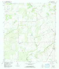
Editions of this 1965 Pawnee Map
2 editions found
Other maps of this area

1931 · Falls City
USGS Topo · 1:62,500

1936 · Pettus
USGS Topo · 1:62,500

1953 · Crystal City
USGS Topo · 1:250,000

1953 · Beeville
USGS Topo · 1:250,000

1955 · Crystal City
USGS Topo · 1:250,000

1956 · Suniland
USGS Topo · 1:62,500

1956 · Beeville
USGS Topo · 1:250,000

1956 · Pettus
USGS Topo · 1:62,500

1956 · Karnes City
USGS Topo · 1:62,500

1960 · Beeville
USGS Topo · 1:250,000