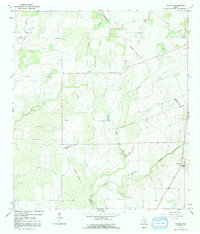
1965 Map of Pawnee
USGS Topo · Published 1991About this map
The rural landscape of South Texas is defined by the intersection of three counties—Karnes, Live Oak, and Bee—where small agrarian settlements cling to the tributaries of the Nueces River basin. Pawnee serves as a local hub near the southeastern corner, while the smaller communities of Nell and El Oso anchor the northern reaches. The area is characterized by an extensive network of ephemeral waterways, including West Weedy and Sulphur Creek, which carve through the terrain and influence the placement of early homesteads and fences. Significant for genealogical research, the map identifies local resting places such as Nell Cem and Pawnee Cem. The presence of a prominent industrial pipeline and scattered gravel pits suggests the regional transition toward petroleum and mineral resource extraction during the mid-1960s.
Find a feature on this map
14 named features on this map. Tap any name to fly to it.
Don’t see what you’re looking for? This feature index may not catch every label — zoom into the map to look around manually.
Map Details
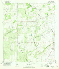
Editions of this 1965 Pawnee Map
2 editions found
Other maps of this area

1931 · Falls City
USGS Topo · 1:62,500

1936 · Pettus
USGS Topo · 1:62,500

1953 · Crystal City
USGS Topo · 1:250,000

1953 · Beeville
USGS Topo · 1:250,000

1955 · Crystal City
USGS Topo · 1:250,000

1956 · Suniland
USGS Topo · 1:62,500

1956 · Beeville
USGS Topo · 1:250,000

1956 · Pettus
USGS Topo · 1:62,500

1956 · Karnes City
USGS Topo · 1:62,500

1960 · Beeville
USGS Topo · 1:250,000