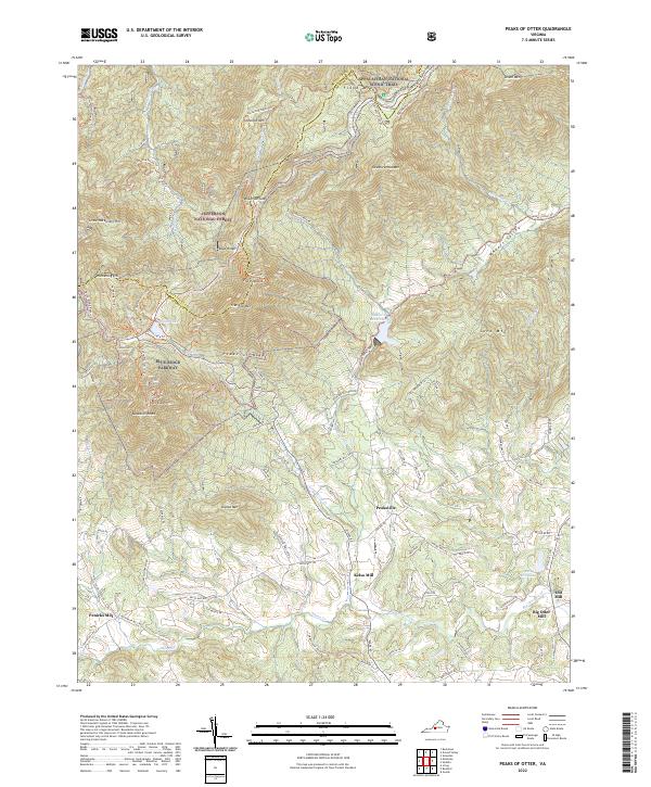
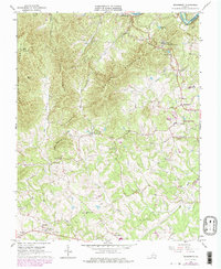
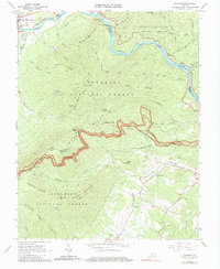
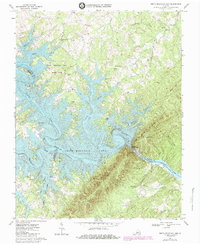
2022 Map of Peaks of Otter
USGS Topo · Published 2022This historical map portrays the area of Peaks of Otter in 2022, primarily covering Bedford County as well as portions of Botetourt County. Featuring a scale of 1:24000, this map provides a highly detailed snapshot of the terrain, roads, buildings, counties, and historical landmarks in the Peaks of Otter region at the time. Published in 2022, it is the sole known edition of this map.
Map Details
Editions of this 2022 Peaks of Otter Map
This is the sole edition of this map. No revisions or reprints were ever made.
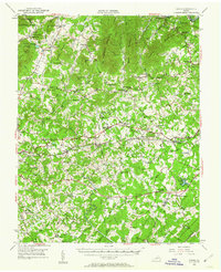
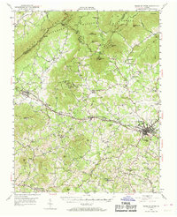
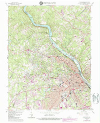
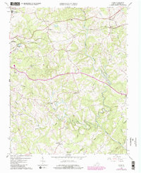
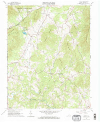
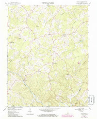
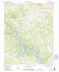
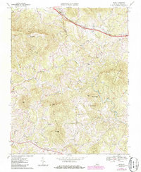
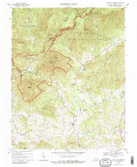
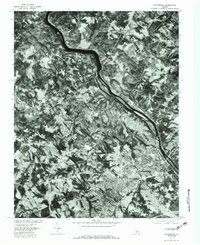
Historical Maps of Penicks Mill Through Time
27 maps found
1950 Goode
Bedford County, VA
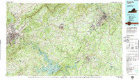
1950 Peaks of Otter
Bedford County, VA
1963 Lynchburg
Bedford County, VA
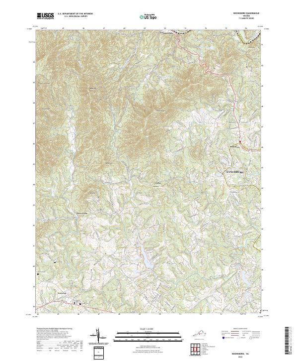
1965 Boonsboro
Bedford County, VA
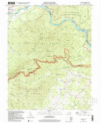
1965 Goode
Bedford County, VA
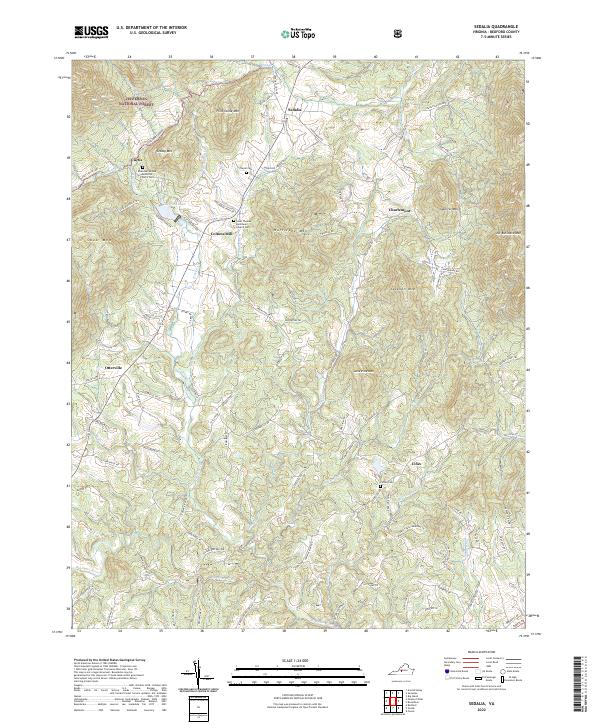
1965 Sedalia
Bedford County, VA
1966 Huddleston
Bedford County, VA
1966 Snowden
Bedford County, VA
1967 Goodview
Bedford County, VA
1967 Irving
Bedford County, VA
1967 Peaks Of Otter
Bedford County, VA
1967 Smith Mountain Dam
Bedford County, VA
1977 Lynchburg
Bedford County, VA
1977 Peaks of Otter
Bedford County, VA
1977 Smith Mountain Dam
Bedford County, VA
1985 Roanoke
Bedford County, VA
1999 Snowden
Bedford County, VA
2022 Boonsboro
Bedford County, VA
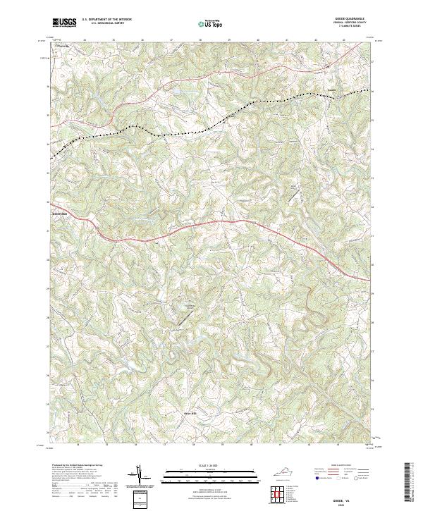
2022 Goode
Bedford County, VA
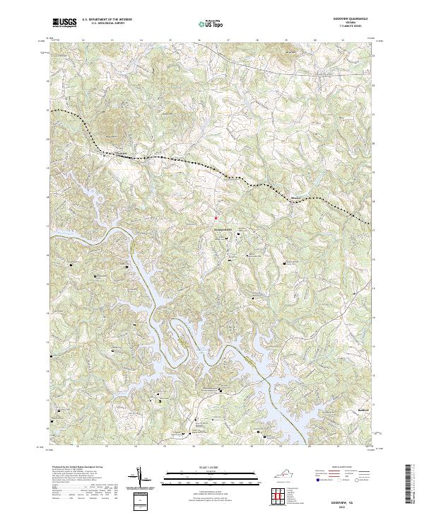
2022 Goodview
Bedford County, VA
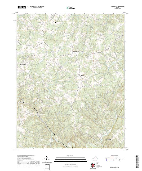
2022 Huddleston
Bedford County, VA
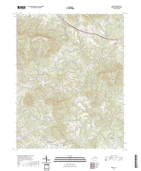
2022 Irving
Bedford County, VA
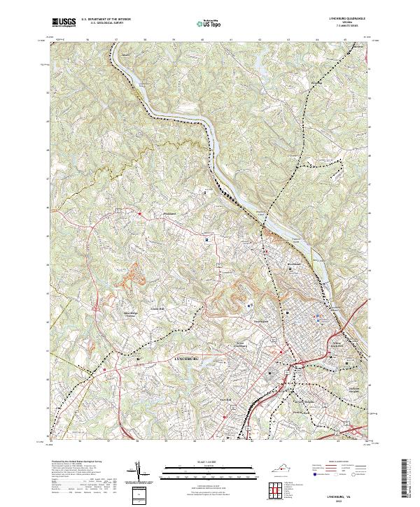
2022 Lynchburg
Bedford County, VA
2022 Peaks of Otter
Bedford County, VA
2022 Sedalia
Bedford County, VA
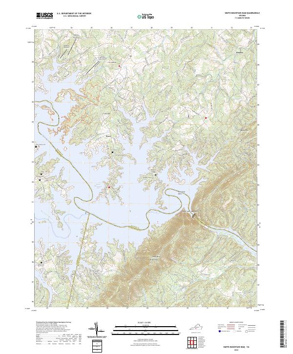
2022 Smith Mountain Dam
Bedford County, VA
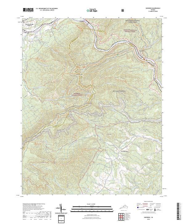
2022 Snowden
Bedford County, VA