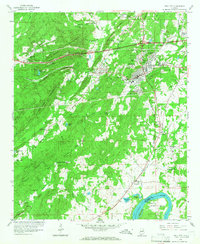
1958 Map of Pell City
USGS Topo · Published 1966About this map
Pell City stands as a central industrial and residential hub in this 1950s record, characterized by its grid of streets and proximity to the Southern Railway. The landscape transitions from the developed corridors of Avondale Village and Crestview Gardens toward the expansive waters of the Coosa River at Griffitt Bend. Small communities like Eden, Harrisburg, and Walkerton surround the city center, while rural life persists at Mt Hillery Crossroads and Cropwell. Local institutions are well-documented, including the County Training Sch and South St Clair Sch. For genealogists, the map preserves the locations of numerous family and community sites, such as Old Florence Cem and Mount Pleasant Cem, alongside several country churches like Golden Grove Ch and Rocky Zion Ch. The presence of Gravel Pits and various springs indicates the local economy's reliance on both the natural terrain and the rail network.
Find a feature on this map
73 named features on this map. Tap any name to fly to it.
Don’t see what you’re looking for? This feature index may not catch every label — zoom into the map to look around manually.
Map Details
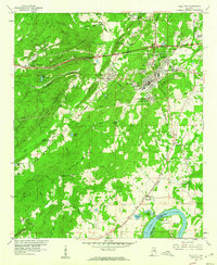
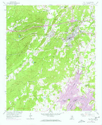
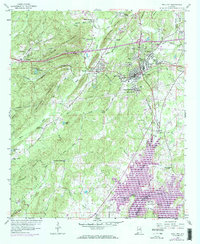
Editions of this 1958 Pell City Map
4 editions found
Other maps of this area

1889 · Springville
USGS Topo · 1:125,000

1890 · Talladega
USGS Topo · 1:125,000

1892 · Springville
USGS Topo · 1:125,000

1892 · Talladega
USGS Topo · 1:125,000

1943 · Talladega
USGS Topo · 1:62,500

1946 · Talladega
USGS Topo · 1:62,500

1947 · Ragland
USGS Topo · 1:62,500

1947 · Ragland
USGS Topo · 1:24,000

1947 · Riverside
USGS Topo · 1:24,000

1951 · Vincent
USGS Topo · 1:24,000