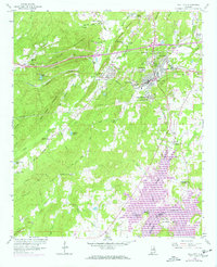
1958 Map of Pell City
USGS Topo · Published 1973About this map
Pell City stands as a primary hub of activity in this mid-century survey, flanked by a network of industrial and residential developments like Avondale Village and Crestview Gardens. The landscape is defined by the Southern railroad corridor and the significant expansion of the Coosa River into Logan Martin Lake, which reshaped the southern portion of the quadrangle. Purple photorevised updates from 1972 illustrate the growth of the St Clair County Airport and new residential clusters near Glen City. Rural life remains visible through numerous family landmarks and rural institutions, including Bowman Cem, Lister Memorial Ch, and the high-elevation Mt Hillery Crossroads. This survey captures the transition of the region from a traditional rail-and-creek geography toward a landscape increasingly influenced by modern infrastructure and water management.
Find a feature on this map
69 named features on this map. Tap any name to fly to it.
Don’t see what you’re looking for? This feature index may not catch every label — zoom into the map to look around manually.
Map Details
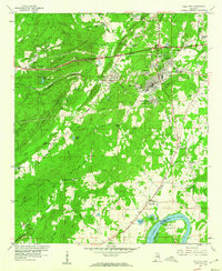
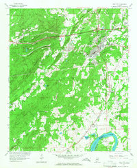
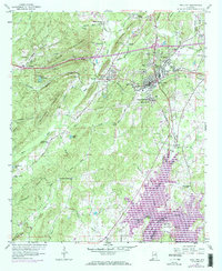
Editions of this 1958 Pell City Map
4 editions found
Other maps of this area

1889 · Springville
USGS Topo · 1:125,000

1890 · Talladega
USGS Topo · 1:125,000

1892 · Springville
USGS Topo · 1:125,000

1892 · Talladega
USGS Topo · 1:125,000

1943 · Talladega
USGS Topo · 1:62,500

1946 · Talladega
USGS Topo · 1:62,500

1947 · Ragland
USGS Topo · 1:62,500

1947 · Ragland
USGS Topo · 1:24,000

1947 · Riverside
USGS Topo · 1:24,000

1951 · Vincent
USGS Topo · 1:24,000