Loading...
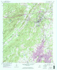
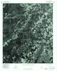
Loading map...1958 Map of Pell City
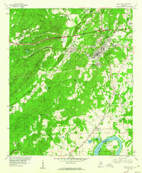
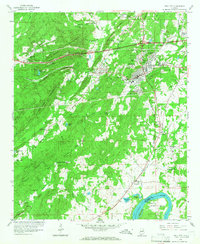
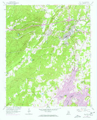
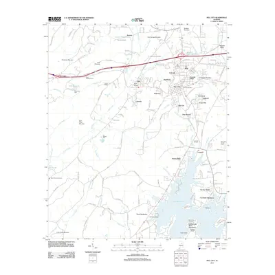
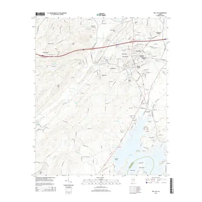
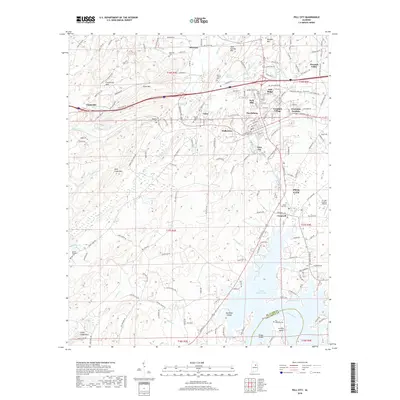
USGS Topo · Published 1973About this map
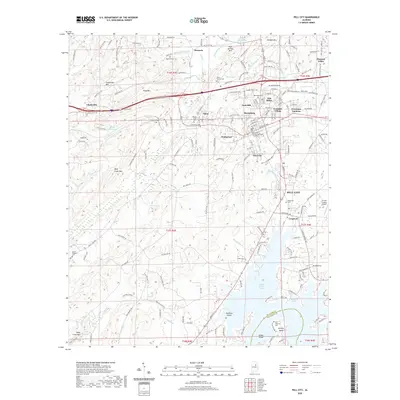
Pell City stands as the central hub of this survey, bordered by the rising waters of Logan Martin Lake and the Coosa River. The map illustrates the industrial and civic growth of the mid-20th century, with the Southern railroad line cutting through the heart of town and connecting outlying areas like Avondale Village and Walkerton. The landscape is characterized by a mix of mountain ridges and developed lowlands, including the St Clair County Airport and the County Training Sch.
Find a feature on this map
61 named features on this map. Tap any name to fly to it.
Don’t see what you’re looking for? This feature index may not catch every label — zoom into the map to look around manually.
Map Details
Date Portrayed1958
Date Published1973
PublisherU.S. Geological Survey
Map TypeTopographic
Scale1:24,000
Physical Dimensions22 x 26.8 inches
Editions of this 1958 Pell City Map
4 editions found
Historical Maps of Pell City Through Time
7 maps found
Featured Locations
Source Details
SourceU.S. Geological Survey
CopyrightPublic Domain