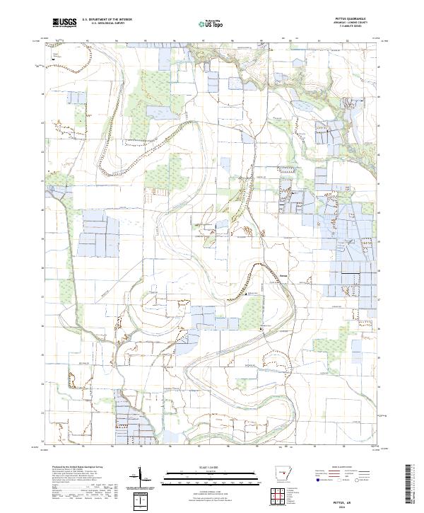
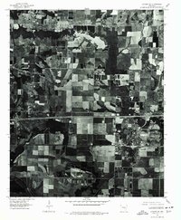
2024 Map of Pettus
USGS Topo · Published 2024About this map
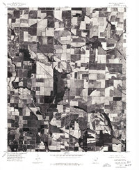
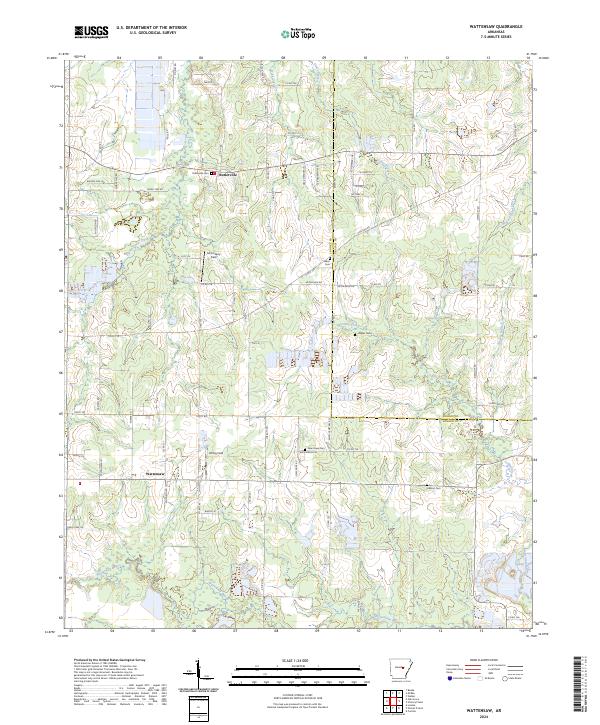
Bakers Bayou and Bayou Meto dominate this Lonoke County landscape, creating a network of waterways that define the agricultural patterns around Pettus. The terrain is marked by traditional land divisions and a series of rural cemeteries that serve as vital touchpoints for local genealogy, including Green Olive Cem in the northwest and Sullivan Cem near the center of the quadrangle.
Find a feature on this map
42 named features on this map. Tap any name to fly to it.
Don’t see what you’re looking for? This feature index may not catch every label — zoom into the map to look around manually.
Map Details
Editions of this 2024 Pettus Map
This is the sole edition of this map. No revisions or reprints were ever made.
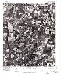
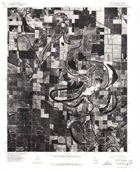
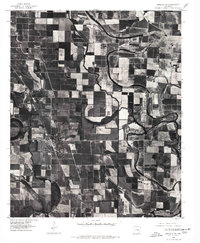
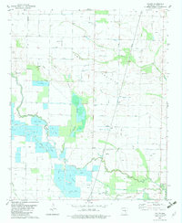
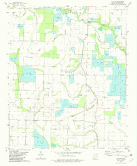
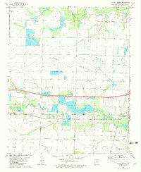
Historical Maps of Pettus Through Time
23 maps found
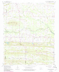
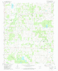
1963 Mountain Springs
Lonoke County, AR
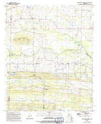
1969 Geridge
Lonoke County, AR
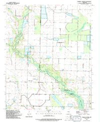
1969 Parkers Corner
Lonoke County, AR
1975 England NE
Lonoke County, AR
1975 England NW
Lonoke County, AR
1975 England SE
Lonoke County, AR
1975 England SW
Lonoke County, AR
1975 Lonoke SW
Lonoke County, AR
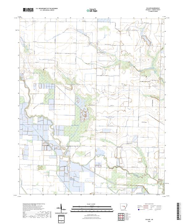
1982 Culler
Lonoke County, AR

1982 Oak Grove
Lonoke County, AR
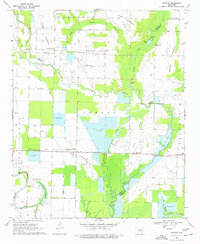
1982 Pettus
Lonoke County, AR
1982 Pocket Prairie
Lonoke County, AR
1982 Wattensaw
Lonoke County, AR
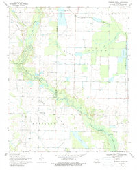
1994 Mountain Springs
Lonoke County, AR
1994 Parkers Corner
Lonoke County, AR
2024 Culler
Lonoke County, AR
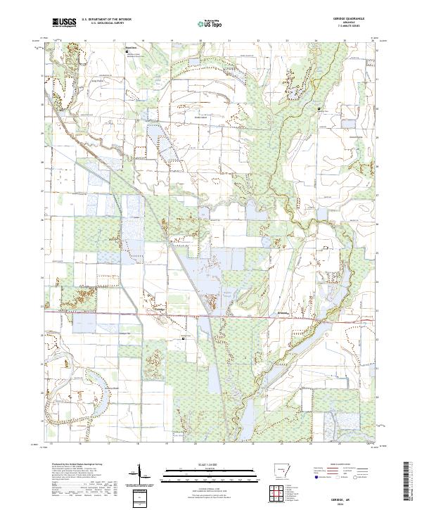
2024 Geridge
Lonoke County, AR
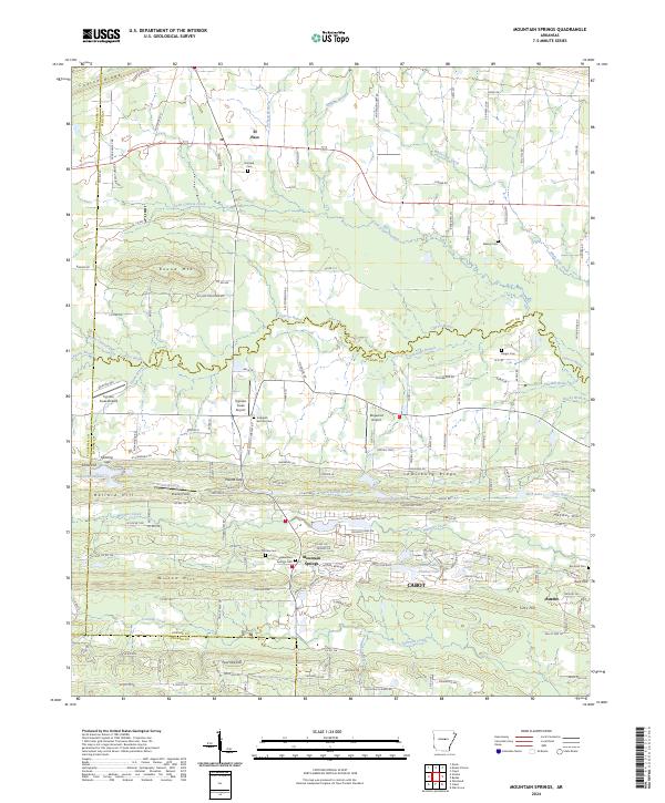
2024 Mountain Springs
Lonoke County, AR

2024 Oak Grove
Lonoke County, AR
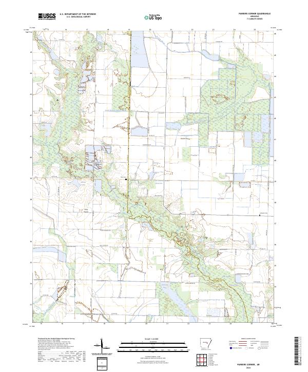
2024 Parkers Corner
Lonoke County, AR
2024 Pettus
Lonoke County, AR
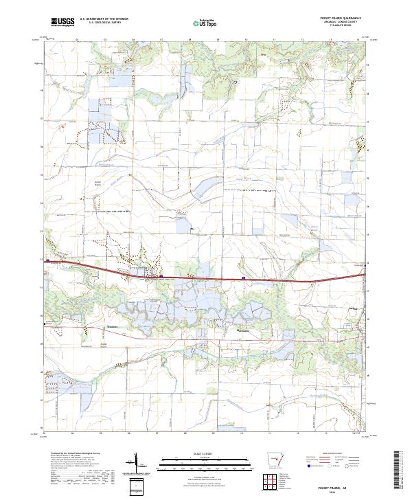
2024 Pocket Prairie
Lonoke County, AR
2024 Wattensaw
Lonoke County, AR